2021 Map of Rat Islands A-3 SE
USGS Topo · Published 2021About this map
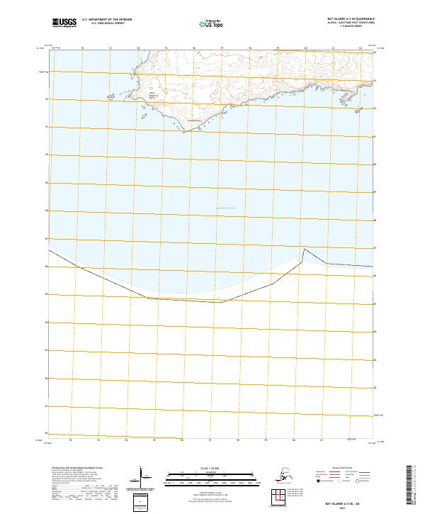
Saint Makarius Point and Grampus Point define the southern shoreline of this remote Aleutian landscape, where the volcanic island terrain meets the Bering Sea. This modern survey reveals a specialized corner of the Rat Islands, highlighting coastal features such as Tanasux and the eastern extension toward Pillow Point. The map is largely dominated by open water and maritime boundaries, reflecting the isolation of these islands. The terrestrial portions are marked by steep contour intervals that illustrate the sharp rise from the sea to the interior ridges, a characteristic pattern for this volcanic chain. Researchers studying Aleutian geography will find the precise location of named points and the surrounding bathymetric context useful for understanding the navigational hazards and landforms of the western census area.
Find a feature on this map
7 named features on this map. Tap any name to fly to it.
Don’t see what you’re looking for? This feature index may not catch every label — zoom into the map to look around manually.
Map Details
Editions of this 2021 Rat Islands A-3 SE Map
This is the sole edition of this map. No revisions or reprints were ever made.