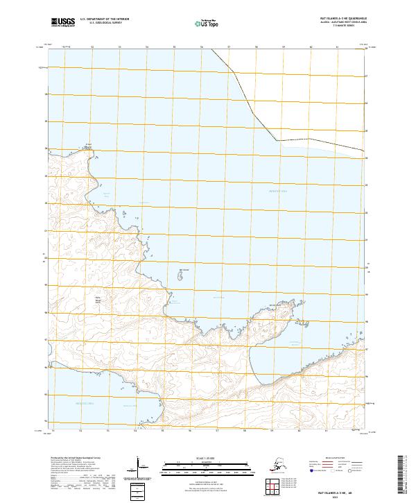
2021 Map of Rat Islands A-3 NE
USGS Topo · Published 2021About this map
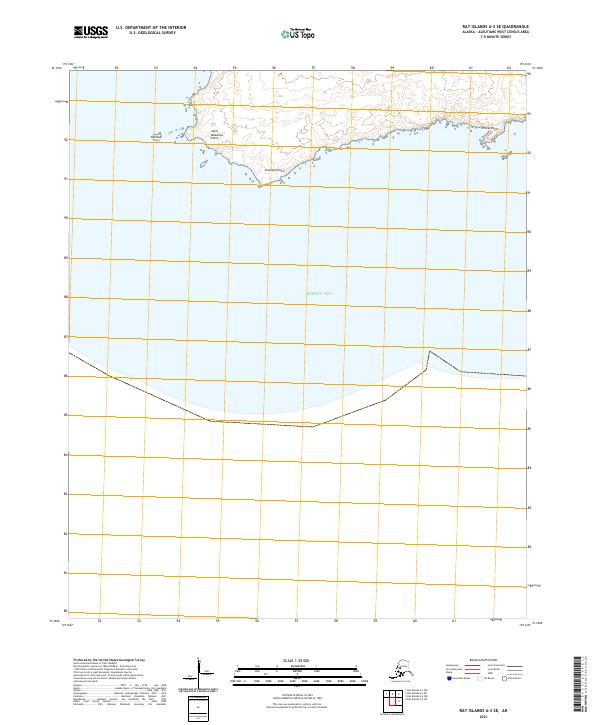
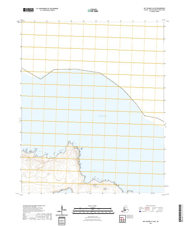
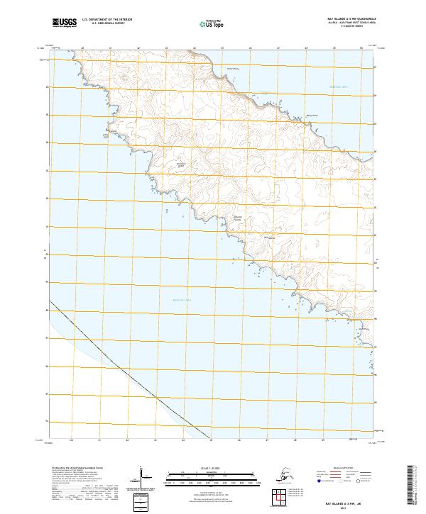
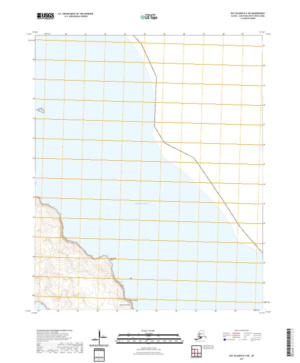
Constantine Harbor and Kirilof Bay dominate this coastal section of the Aleutian chain, revealing a landscape defined by deeply recessed inlets and prominent maritime landmarks. The shoreline is punctuated by descriptive terrain markers such as Rifle Range Point and Kirilof Point, which suggest historical land use patterns and defensive positioning in this remote stretch of the Bering Sea. Small offshore features like Rat Island and secluded spots such as Stone Beach Cove and Cyril Cove highlight the intricate geography of the region. This survey, conducted by the U.S. Geological Survey, meticulously documents the complex interface between the North Pacific and the Alaskan coastline, providing a clear view of the coves and bays that served as essential landmarks for navigation and local history.
Find a feature on this map
14 named features on this map. Tap any name to fly to it.
Don’t see what you’re looking for? This feature index may not catch every label — zoom into the map to look around manually.
Map Details
Editions of this 2021 Rat Islands A-3 NE Map
This is the sole edition of this map. No revisions or reprints were ever made.