2021 Map of Rat Islands B-3 SW
USGS Topo · Published 2021About this map
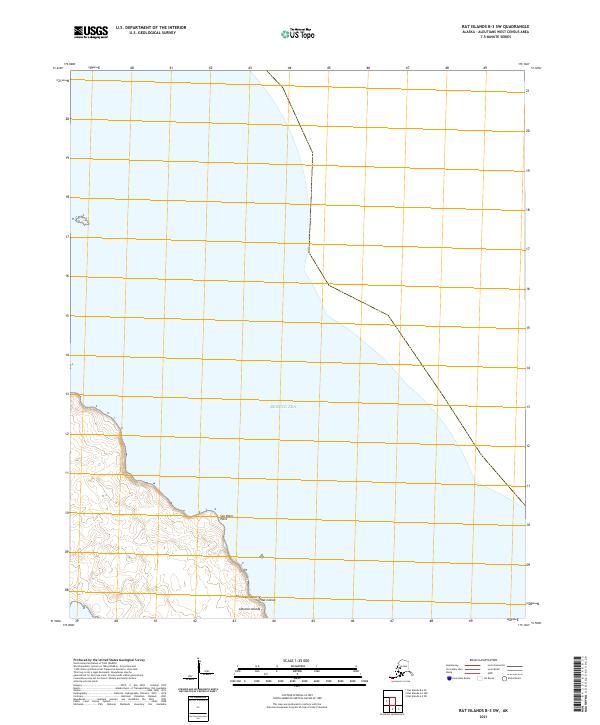
Amchitka Island meets the Bering Sea in this topographical survey of the Rat Islands chain. The landscape is defined by its maritime edge, featuring the prominent coastal landmark of Sea Otter Point. This area of the Aleutian Islands is characterized by remote terrain and intricate shoreline contours, providing a record of the island's geography as it stood in the early twenty-first century. The map details the elevation and shoreline of this southwestern portion of the island, which is managed within the framework of the Public Land Survey System as evidenced by the grid including t100s r227w and neighboring townships. It serves as a precise document for understanding the physical geography of this western Alaskan island.
Find a feature on this map
9 named features on this map. Tap any name to fly to it.
Don’t see what you’re looking for? This feature index may not catch every label — zoom into the map to look around manually.
Map Details
Editions of this 2021 Rat Islands B-3 SW Map
This is the sole edition of this map. No revisions or reprints were ever made.