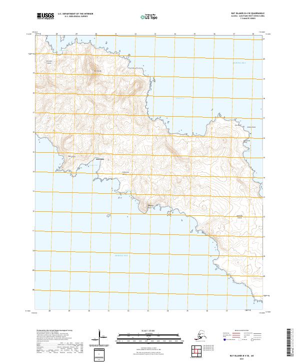
2021 Map of Rat Islands B-4 SE
USGS Topo · Published 2021About this map
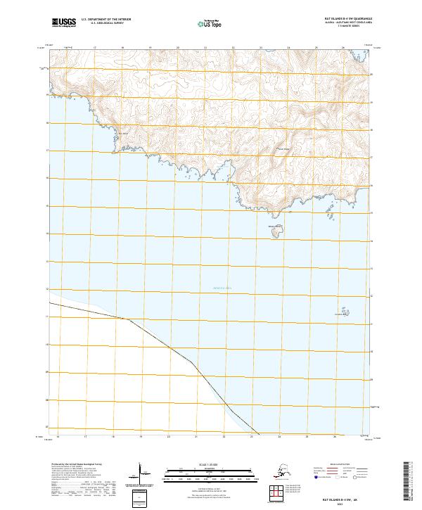
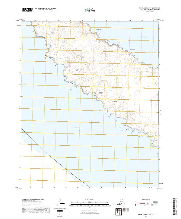
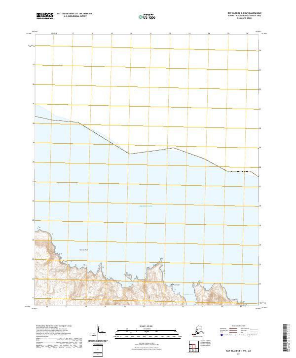
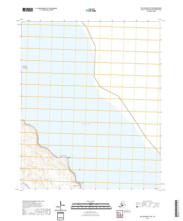
Amchitka Island defines the coastline of the Bering Sea in this remote section of the Rat Islands group. The topography reveals a volcanic landscape characterized by geothermal features such as Fumarole Valley and Fumarole Cove, underscoring the active geologic nature of the Aleutian Islands chain. The settlement at Amchitka sits near the southern shore, positioned between the protected waters of Sandy Cove and the northern heights. The island's perimeter is marked by distinct geological formations, from the sheer Low Bluff and Andesite Point to the sheltered inlets of Chitka Cove and Landslide Cove. This survey captures the isolation and physical structure of a strategic subarctic outpost during the early twenty-first century.
Find a feature on this map
19 named features on this map. Tap any name to fly to it.
Don’t see what you’re looking for? This feature index may not catch every label — zoom into the map to look around manually.
Map Details
Editions of this 2021 Rat Islands B-4 SE Map
This is the sole edition of this map. No revisions or reprints were ever made.