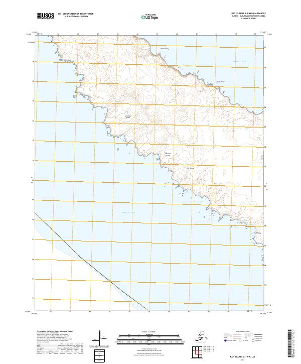
2021 Map of Rat Islands A-3 NW
USGS Topo · Published 2021About this map
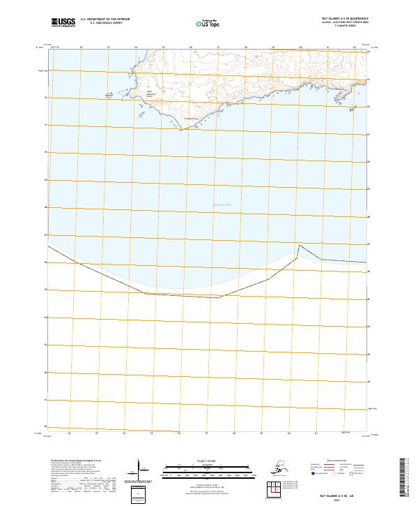
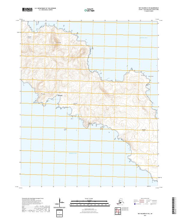
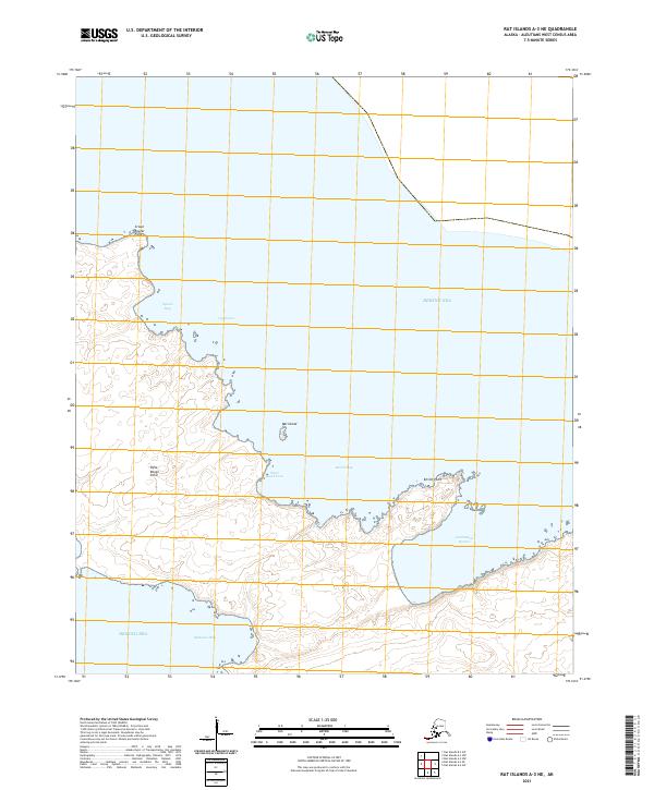
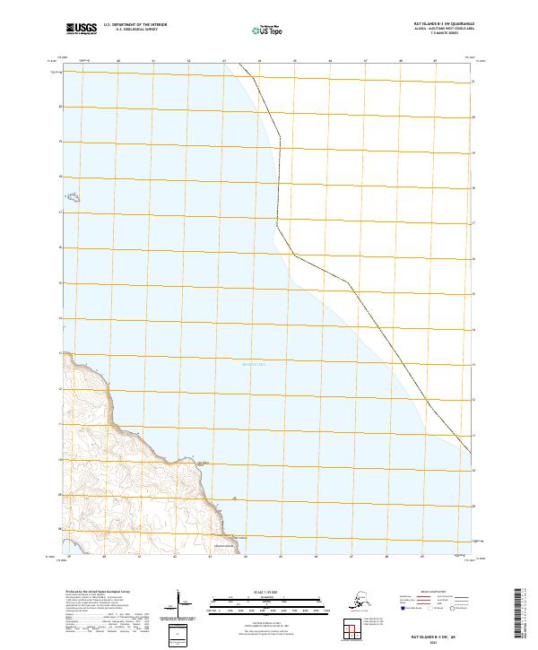
Amchitka Island dominates this portion of the Aleutian Islands chain, showcasing a maritime landscape defined by its indented coastline and numerous coastal points. This 2021 study reveals the remote geography of the Rat Islands group, where the land meets the Bering Sea at notable landmarks such as Petrel Point and Banjo Point. The map provides detailed bathymetry and topography for several inlets, including the sheltered waters of Sand Beach Cove and the southeastern curve of Clam Bay near Clam Point. Small offshore features like Mex Island and the proximity of Duck Cove illustrate the complex shoreline of this island, which served as a significant site during the mid-20th century.
Find a feature on this map
16 named features on this map. Tap any name to fly to it.
Don’t see what you’re looking for? This feature index may not catch every label — zoom into the map to look around manually.
Map Details
Editions of this 2021 Rat Islands A-3 NW Map
This is the sole edition of this map. No revisions or reprints were ever made.