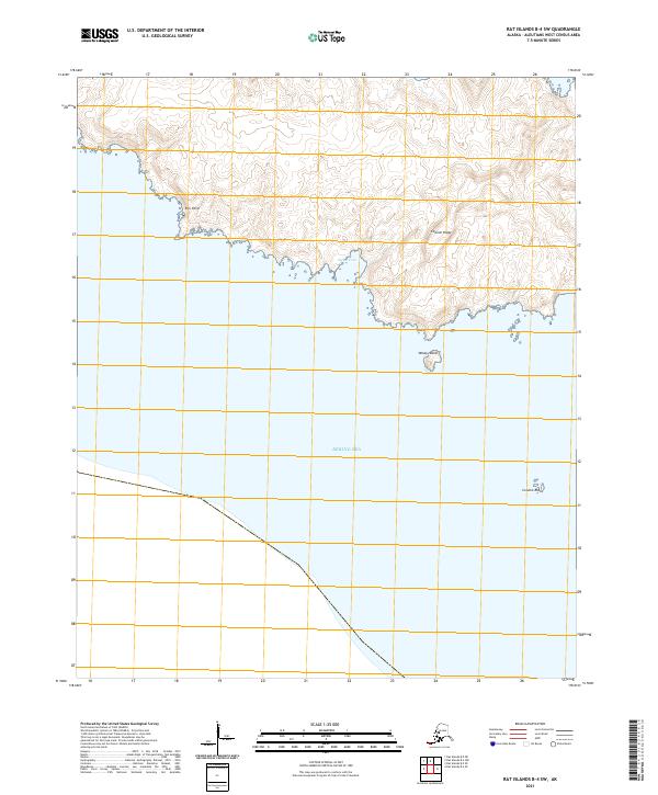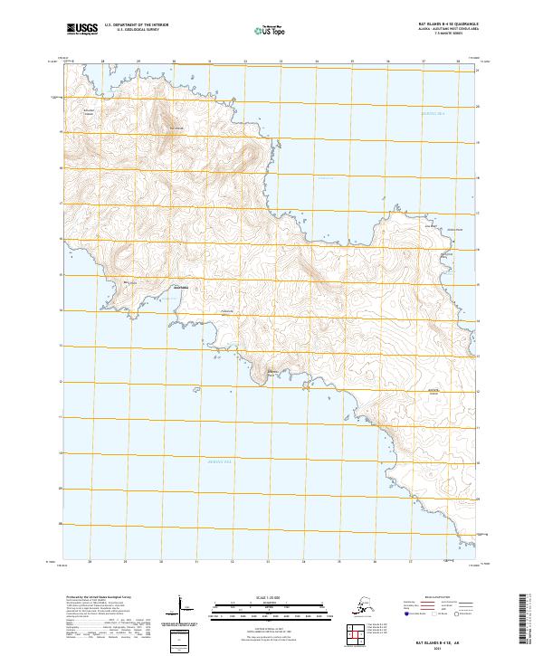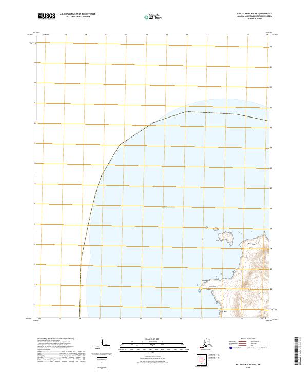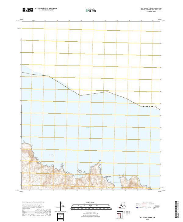
2021 Map of Rat Islands B-4 NW
USGS Topo · Published 2021About this map
The coastal interface of the Bering Sea dominates this portion of the Rat Islands, where steep terrain meets the water at pronounced landmarks like Square Bluff. This topographic survey shows a shoreline defined by indented inlets such as Burr House Cove and Midden Cove, features whose names hint at the archaeological and historical depth of the Aleutian chain. Inland, the land rises sharply toward the southern edge of the sheet, marked by the prominent Midden Point. The map provides a high-resolution look at the isolated geography of the Aleutians West Census Area, emphasizing the natural harbors and rugged headlands that have served as navigational markers for maritime travelers and researchers in these northern waters.
Find a feature on this map
9 named features on this map. Tap any name to fly to it.
Don’t see what you’re looking for? This feature index may not catch every label — zoom into the map to look around manually.
Map Details
Editions of this 2021 Rat Islands B-4 NW Map
This is the sole edition of this map. No revisions or reprints were ever made.