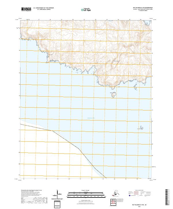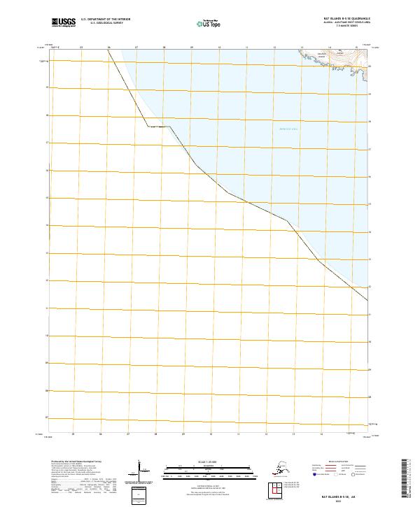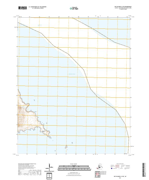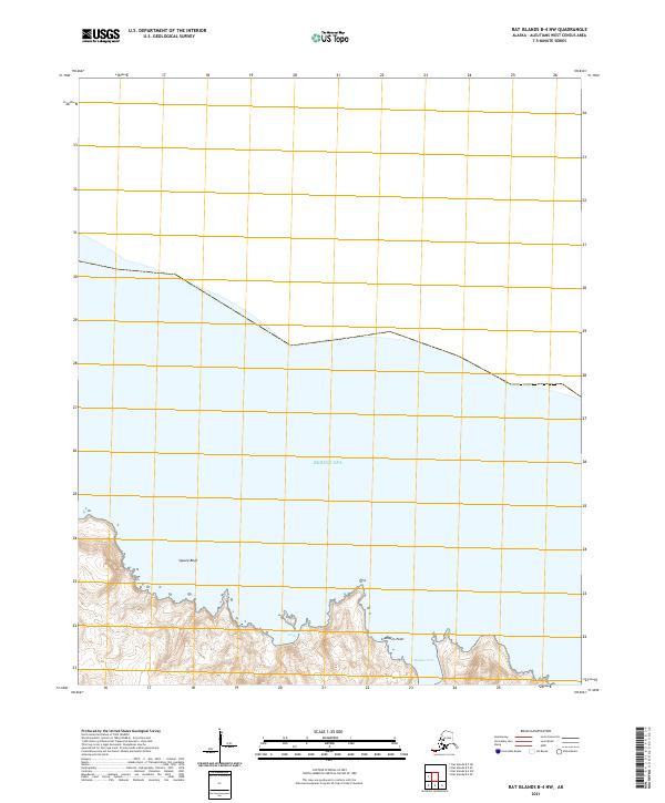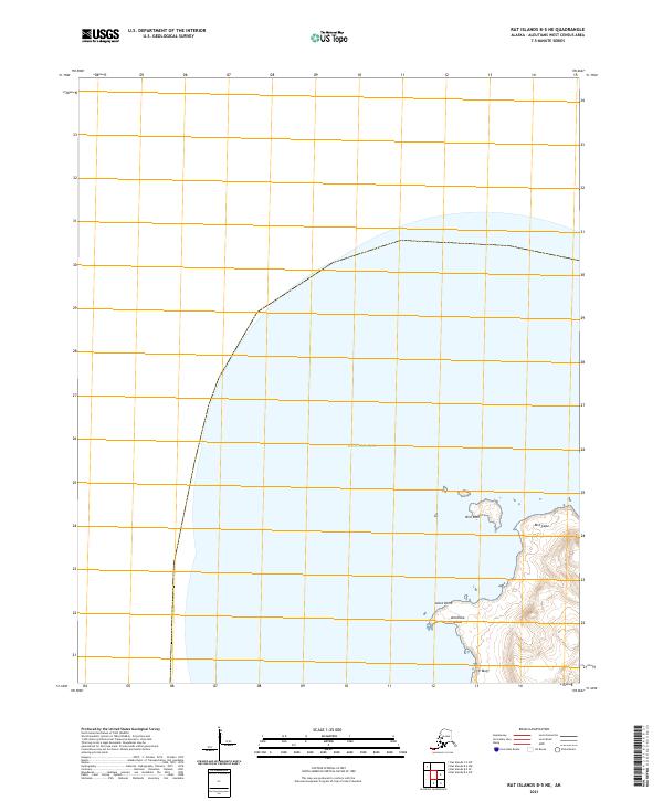
2021 Map of Rat Islands B-5 NE
USGS Topo · Published 2021About this map
Amchitka Island emerges from the Bering Sea in this coastal survey, highlighting the westernmost reaches of the Aleutians West region. The landscape is defined by its maritime boundaries, featuring the prominent Aleut Point on the northwestern shore and the steep elevation of CP Bluff to the south. This remote island geography includes small offshore features like Bird Rock and the northern projection of Bird Cape. The map provides a clear look at the island's topography just as the 21st century's third decade begins, recording the landforms of the Rat Islands group with precise detail. Surveyed boundaries for t98s r230w and t99s r230w establish a formal grid over this isolated terrain, illustrating the intersection of modern cartographic standards with a maritime wilderness.
Find a feature on this map
26 named features on this map. Tap any name to fly to it.
Don’t see what you’re looking for? This feature index may not catch every label — zoom into the map to look around manually.
Map Details
Editions of this 2021 Rat Islands B-5 NE Map
This is the sole edition of this map. No revisions or reprints were ever made.