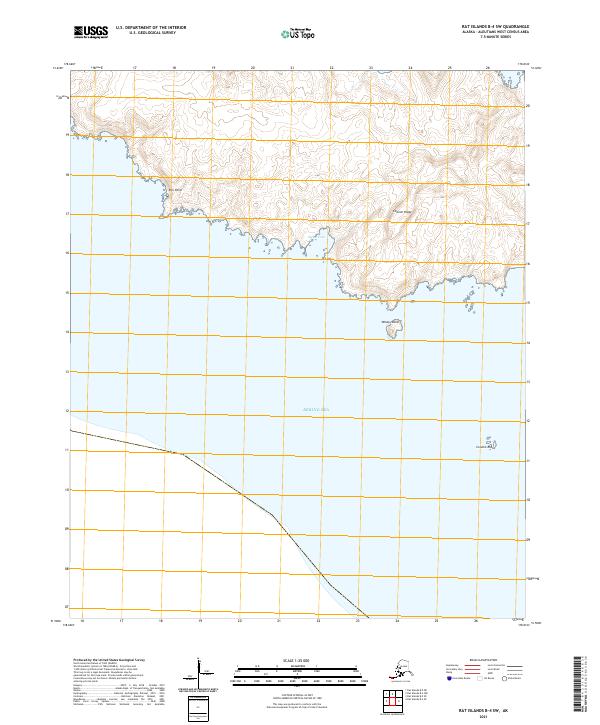
2021 Map of Rat Islands B-4 SW
USGS Topo · Published 2021About this map
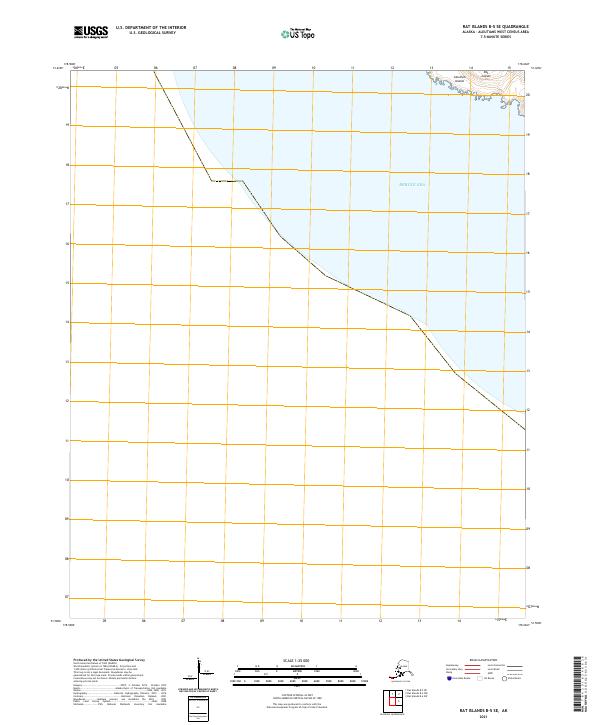
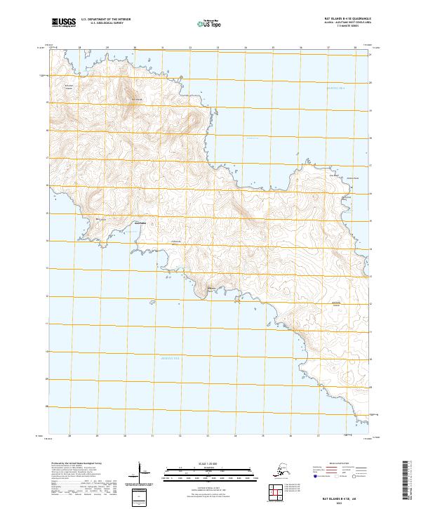
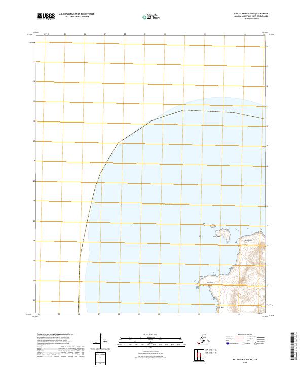
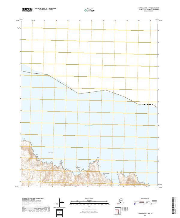
Bering Sea waters define the southern reaches of this maritime landscape in the Rat Islands of Alaska. The coastline is marked by distinct geological formations, including the prominent Column Ridge and the rocky outcroppings of Column Rocks just offshore. This survey emphasizes the uninhabited, topographical nature of the island chain, where features like Rim Point and Windy Island serve as primary navigational landmarks for this portion of the Aleutian archipelago. Signal Cove provides a notable indentation along the irregular shoreline, offering a natural harbor of sorts along the southern coast. The presence of these specific named landmarks suggests a landscape shaped by volcanic activity and persistent oceanic erosion, typical of the remote West Census Area.
Find a feature on this map
8 named features on this map. Tap any name to fly to it.
Don’t see what you’re looking for? This feature index may not catch every label — zoom into the map to look around manually.
Map Details
Editions of this 2021 Rat Islands B-4 SW Map
This is the sole edition of this map. No revisions or reprints were ever made.