2021 Map of Rat Islands C-5 SW
USGS Topo · Published 2021About this map
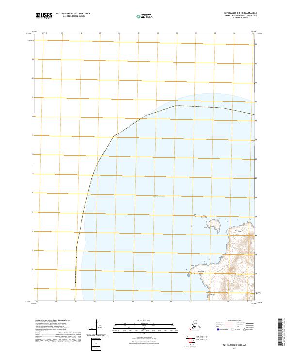
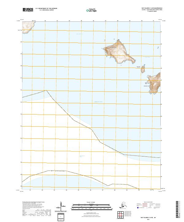
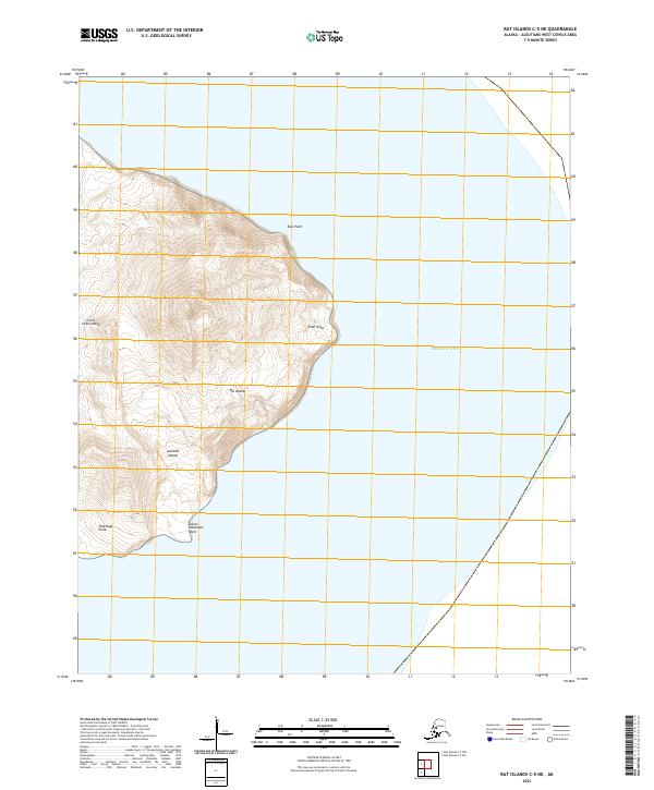
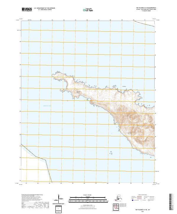
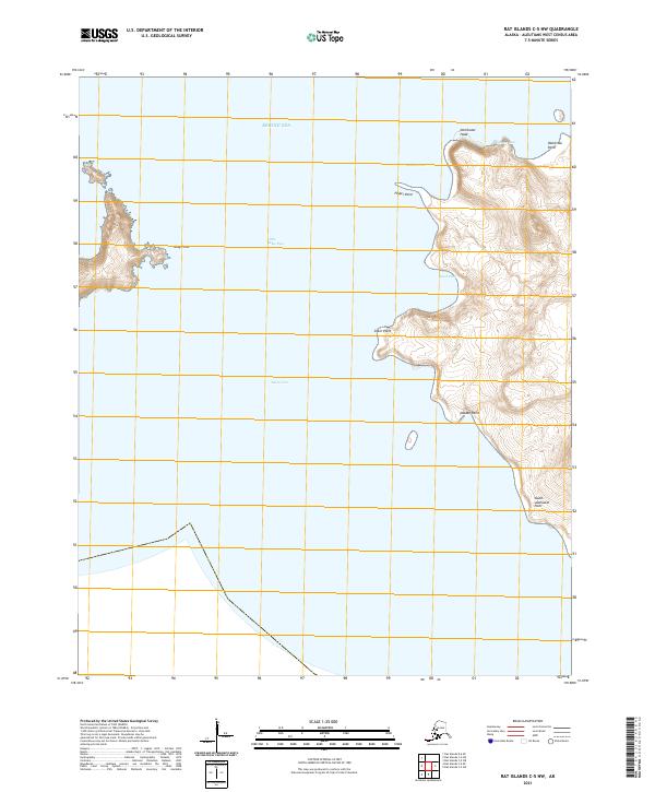
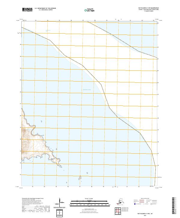
The Bering Sea dominates the eastern expanse of this maritime survey, illustrating the isolated coastal topography of the western Aleutians. The landmass shown is largely defined by jagged shorelines and small offshore islets, where the waters of Rat Island Pass separate these volcanic outposts. While the interior shows steep elevation contours and the surveyed boundaries of townships t96s r231w and t97s r232w, the map remains devoid of modern infrastructure or permanent settlements. This 2021 update utilizes modern satellite imagery to trace the interface between the North Pacific and the Bering Sea, offering a technical view of a land primarily used for scientific study and wildlife conservation.
Find a feature on this map
4 named features on this map. Tap any name to fly to it.
Don’t see what you’re looking for? This feature index may not catch every label — zoom into the map to look around manually.
Map Details
Editions of this 2021 Rat Islands C-5 SW Map
This is the sole edition of this map. No revisions or reprints were ever made.