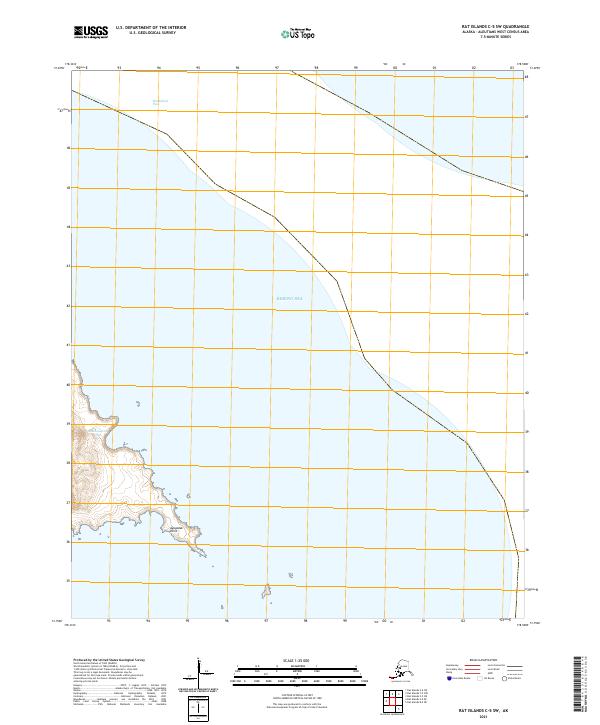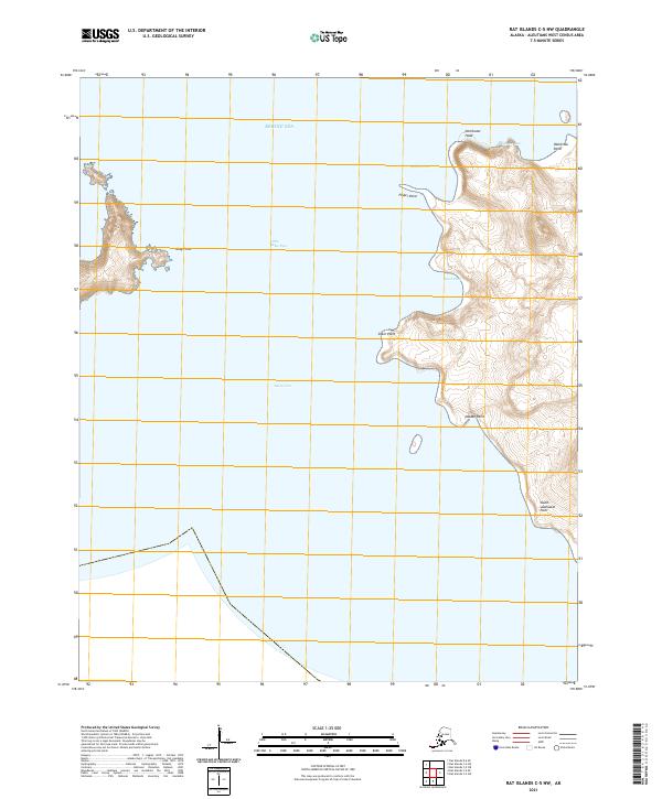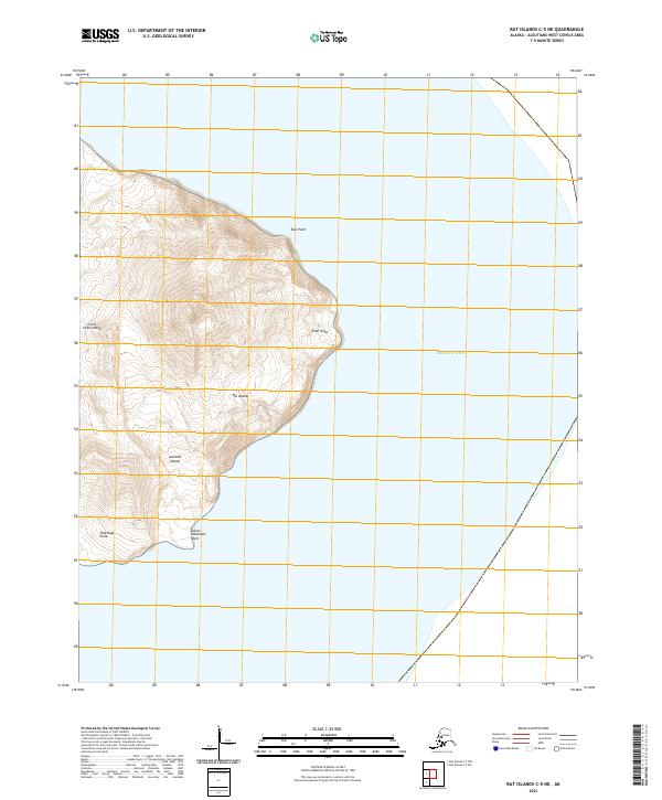
2021 Map of Rat Islands C-5 NE
USGS Topo · Published 2021About this map
Little Sitkin Island dominates the western half of this maritime survey, rising from the Bering Sea within the volcanic chain of the Aleutian Islands. The topography is defined by steep coastal landforms and dramatic elevations, featuring named maritime landmarks such as East Point and Pratt Point along its eastern shore. This 2021 update by the U.S. Geological Survey documents the island's isolation within the larger Rat Islands group, emphasizing the raw coastal interface where the land meets the northern waters.
Find a feature on this map
10 named features on this map. Tap any name to fly to it.
Don’t see what you’re looking for? This feature index may not catch every label — zoom into the map to look around manually.
Map Details
Editions of this 2021 Rat Islands C-5 NE Map
This is the sole edition of this map. No revisions or reprints were ever made.