Loading...
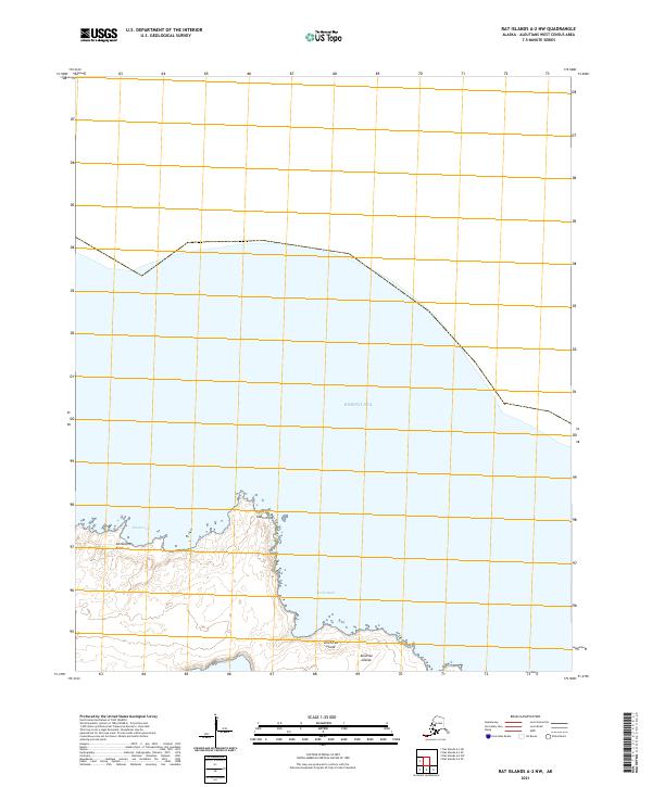
Loading map...2021 Map of Rat Islands A-2 NW
USGS Topo · Published 2021About this map
Amchitka Island is represented here by its northeastern shoreline, a critical vantage point within the Aleutian Islands chain. The landscape is defined by its coastal reaches and maritime interfaces, featuring prominent geographic markers like Constantine Point and Ivakin Point. These landmarks serve as essential navigational guides in a region dominated by the surrounding Bering Sea.
Find a feature on this map
9 named features on this map. Tap any name to fly to it.
Don’t see what you’re looking for? This feature index may not catch every label — zoom into the map to look around manually.
Map Details
Date Portrayed2021
Date Published2021
PublisherU.S. Geological Survey
Map TypeTopographic
Scale1:25,000
Physical Dimensions24 x 29 inches
Editions of this 2021 Rat Islands A-2 NW Map
This is the sole edition of this map. No revisions or reprints were ever made.
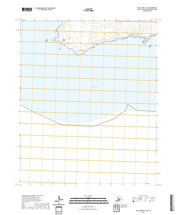
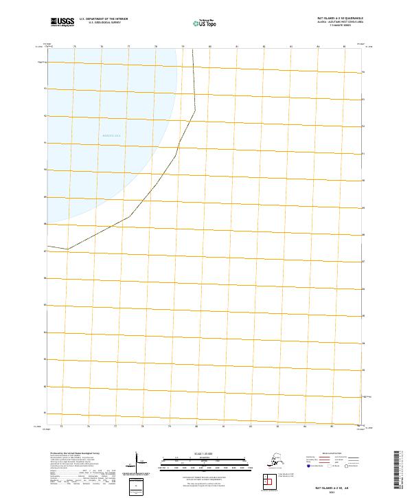
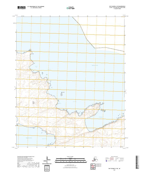
Other maps of this area


Featured Places
Source Details
SourceU.S. Geological Survey
CopyrightPublic Domain