2021 Map of Rat Islands A-2 SE
USGS Topo · Published 2021About this map
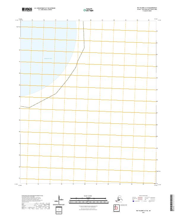
Bering Sea waters dominate this remote maritime section of the Aleutian chain, captured in a recent 2021 survey. The sheet is nearly entirely aquatic, representing the vast marine environment surrounding the Rat Islands. The only terrestrial delineations present are the cadastral markers for T102s R226w, which define the legal survey boundaries in this extreme western reach of Alaska. While topographic features and landforms are absent from this specific quadrant, the map serves as a precise record of the maritime coordinates and the Public Land Survey System grid as it extends into the North Pacific waters.
Find a feature on this map
14 named features on this map. Tap any name to fly to it.
Don’t see what you’re looking for? This feature index may not catch every label — zoom into the map to look around manually.
Map Details
Editions of this 2021 Rat Islands A-2 SE Map
This is the sole edition of this map. No revisions or reprints were ever made.