2021 Map of Rat Islands A-2 SW
USGS Topo · Published 2021About this map
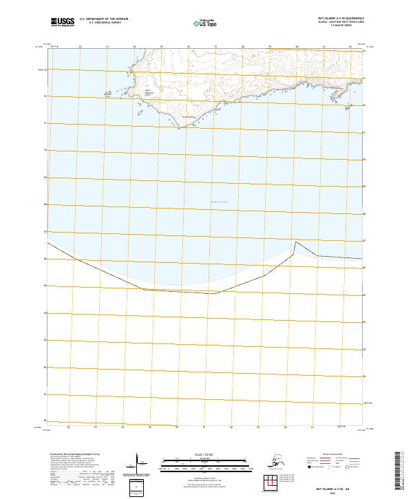
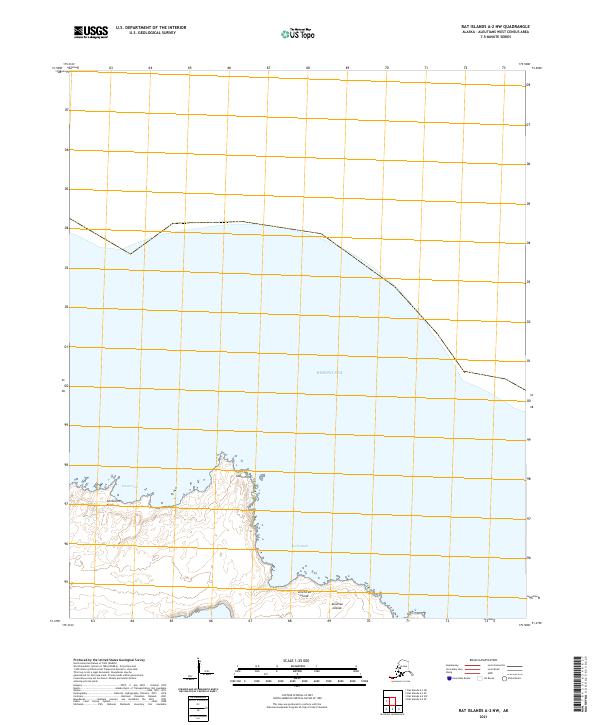
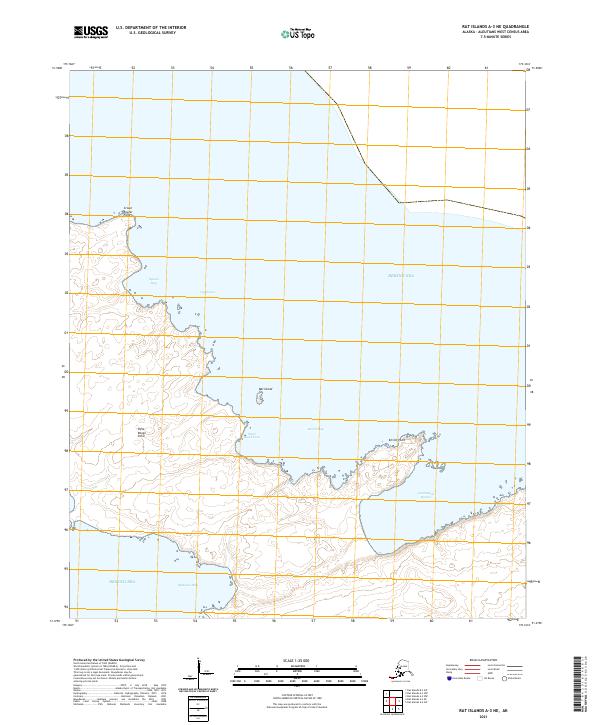
Omega Point and East Cape define the rugged shoreline of this Aleutian landscape, where the land meets the cold waters of the Bering Sea. This 2021 topographic record captures the maritime geography of the Rat Islands, highlighting coastal indentations such as South Bight and the sheltered Pluton Cove. The map detail includes the isolated Sea-Otter Rock just offshore, serving as a critical navigation marker in this remote North Pacific environment. Defined by the Public Land Survey System coordinates t102s r227w and t102s r226w, the sheet provides an essential baseline for modern environmental monitoring and maritime history in the Aleutians West Census Area.
Find a feature on this map
8 named features on this map. Tap any name to fly to it.
Don’t see what you’re looking for? This feature index may not catch every label — zoom into the map to look around manually.
Map Details
Editions of this 2021 Rat Islands A-2 SW Map
This is the sole edition of this map. No revisions or reprints were ever made.