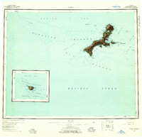
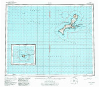
1951 Map of Kiska
USGS Topo · Published 1958About this map
Kiska Volcano dominates the northern reaches of this Aleutian island, a landscape defined by its isolated volcanic geography and strategic maritime position between the Bering Sea and the Pacific Ocean. Surveyed in the years following the war, the map reveals a land nearly devoid of permanent settlements, noting only scattered Cabins that likely served as temporary shelters for surveyors or military personnel. The complex coastline is deeply indented by Kiska Harbor and Gertrude Cove, which provided vital anchorage in these treacherous waters. Inland, freshwater bodies like West Kiska Lake and Salmon Lagoon stand out against the steep terrain. This survey, compiled from Army Map Service data and USC&GS charts, captures the Rat Islands before modern environmental protections were established, showing the raw topography of Little Kiska Island and the surrounding reefs.
Find a feature on this map
64 named features on this map. Tap any name to fly to it.
Don’t see what you’re looking for? This feature index may not catch every label — zoom into the map to look around manually.
Map Details
Editions of this 1951 Kiska Map
6 editions found
Other maps of this area

1951 · Kiska
USGS Topo · 1:250,000

1951 · Rat Islands
USGS Topo · 1:250,000

1958 · Kiska
USGS Topo · 1:250,000
2021 · Kiska C-1 NW
USGS Topo · 1:25,000
2021 · Rat Islands D-6 SW
USGS Topo · 1:25,000
2021 · Kiska C-3 SE
USGS Topo · 1:25,000
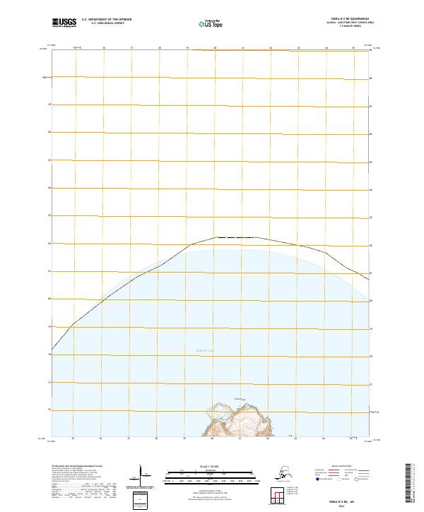
2021 · Kiska D-2 NE
USGS Topo · 1:25,000
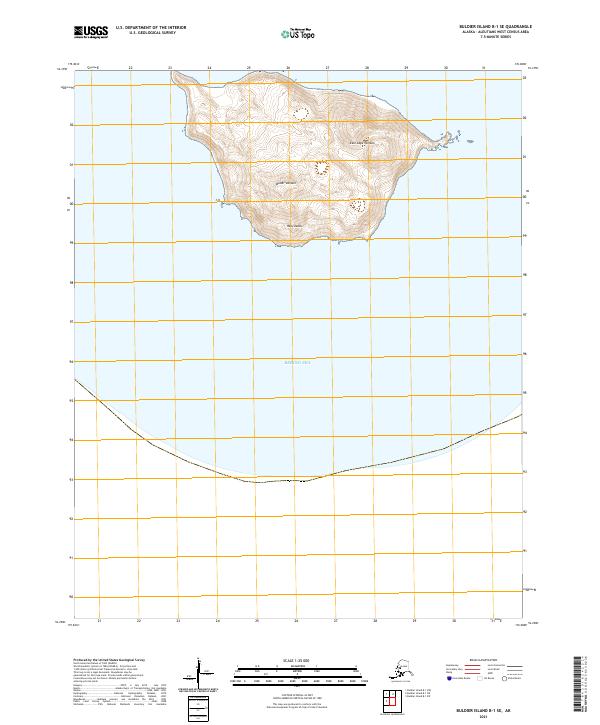
2021 · Buldier Island B-1 SE
USGS Topo · 1:25,000
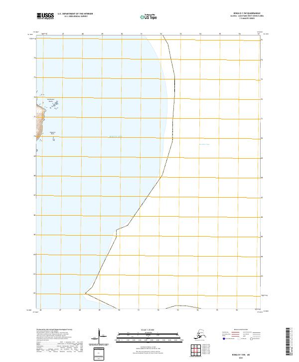
2021 · Kiska D-1 SW
USGS Topo · 1:25,000
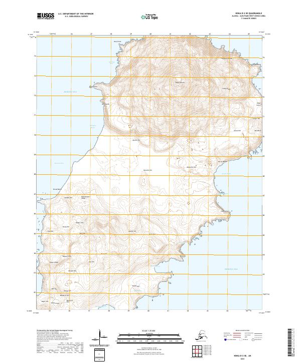
2021 · Kiska D-2 SE
USGS Topo · 1:25,000