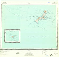
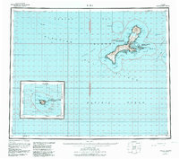
1951 Map of Kiska
USGS Topo · Published 1958About this map
Kiska Island Naval Reservation dominates this mid-century survey of the Rat Islands, capturing a landscape defined by its strategic military importance and volatile volcanic geography. The map detail centers on the massive Kiska Volcano 4004 and the sheltered waters of Kiska Harbor, a site of significant activity during World War II. Coastal features such as Navy Cove, Gertrude Cove, and Salmon Lagoon are meticulously charted alongside interior water bodies like West Kiska Lake.
Find a feature on this map
65 named features on this map. Tap any name to fly to it.
Don’t see what you’re looking for? This feature index may not catch every label — zoom into the map to look around manually.
Map Details
Editions of this 1951 Kiska Map
6 editions found
Other maps of this area

1951 · Kiska
USGS Topo · 1:250,000

1951 · Rat Islands
USGS Topo · 1:250,000

1958 · Kiska
USGS Topo · 1:250,000
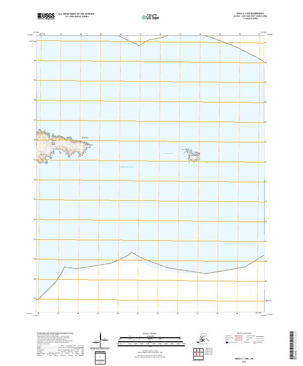
2021 · Kiska C-1 NW
USGS Topo · 1:25,000
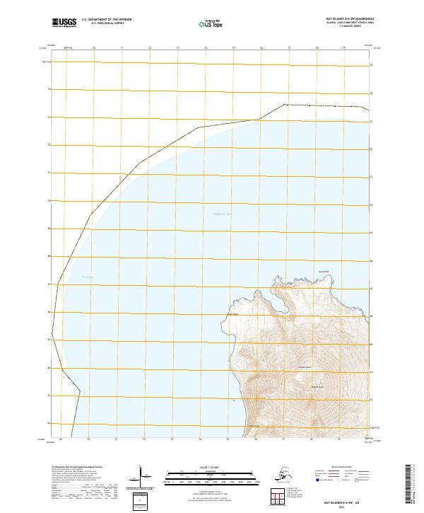
2021 · Rat Islands D-6 SW
USGS Topo · 1:25,000
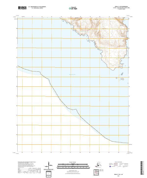
2021 · Kiska C-3 SE
USGS Topo · 1:25,000
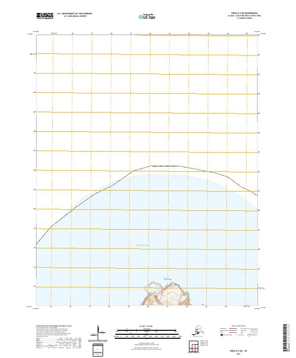
2021 · Kiska D-2 NE
USGS Topo · 1:25,000
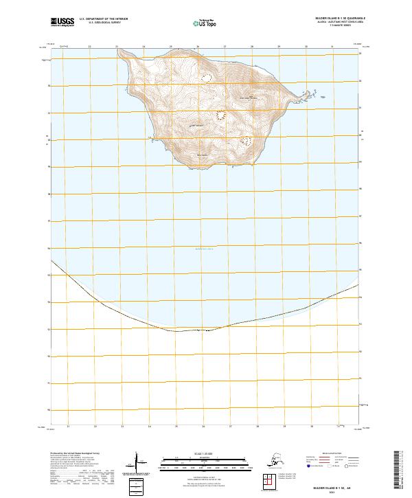
2021 · Buldier Island B-1 SE
USGS Topo · 1:25,000
2021 · Kiska D-1 SW
USGS Topo · 1:25,000
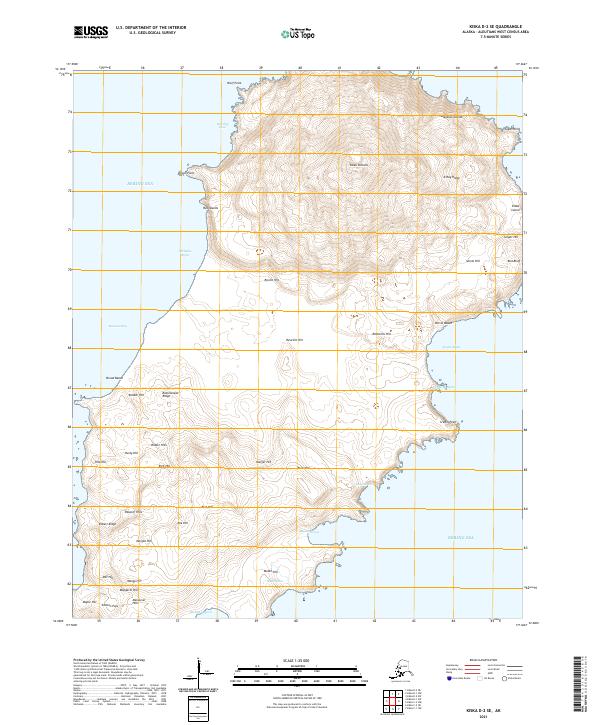
2021 · Kiska D-2 SE
USGS Topo · 1:25,000