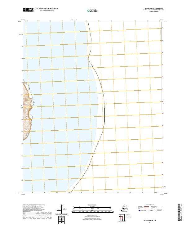
2021 Map of Seguam D-6 SW
USGS Topo · Published 2021About this map
Atka Island sits at the far western edge of this coastal survey, where the terrestrial terrain of the Aleutian Islands meets the open expanse of the Bering Sea. The map focuses primarily on the maritime environment and the delicate shoreline near Cape Shaw, a prominent land feature in an area defined more by its nautical boundaries than by inland settlement. Detailed surveying from agencies like the U.S. Geological Survey and the Bureau of Land Management establishes the Public Land Survey System grid, including t91s r174w and t91s r175w. This document captures the remote character of the Aleutians West Census Area, providing an essential record of the island's coastline and the surrounding waters for maritime and geographic study.
Find a feature on this map
6 named features on this map. Tap any name to fly to it.
Don’t see what you’re looking for? This feature index may not catch every label — zoom into the map to look around manually.
Map Details
Editions of this 2021 Seguam D-6 SW Map
This is the sole edition of this map. No revisions or reprints were ever made.
Other maps of this area

1951 · Seguam
USGS Topo · 1:250,000

1952 · Atka
USGS Topo · 1:250,000

1958 · Seguam
USGS Topo · 1:250,000

1959 · Atka
USGS Topo · 1:250,000
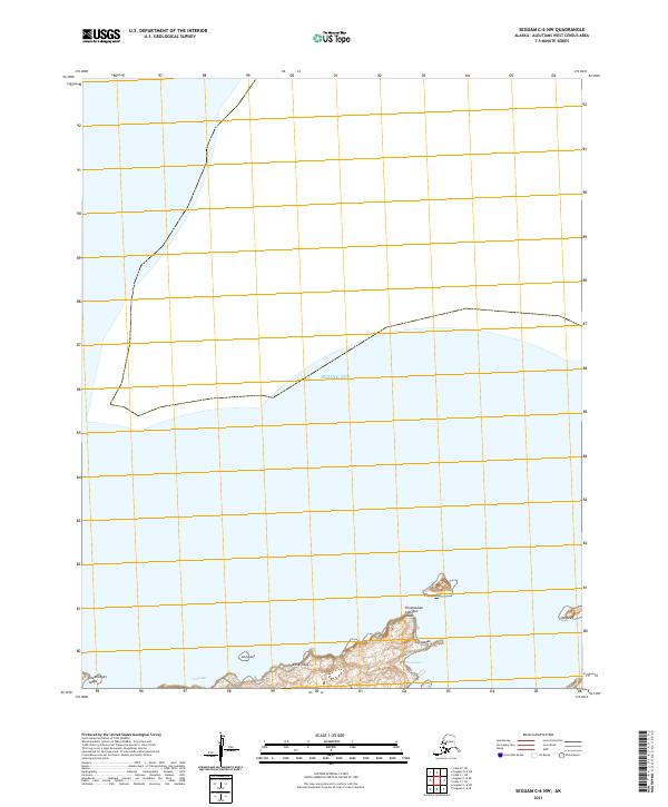
2021 · Seguam C-6 NW
USGS Topo · 1:25,000
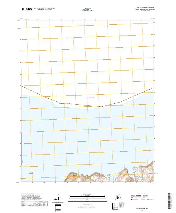
2021 · Seguam C-6 NE
USGS Topo · 1:25,000
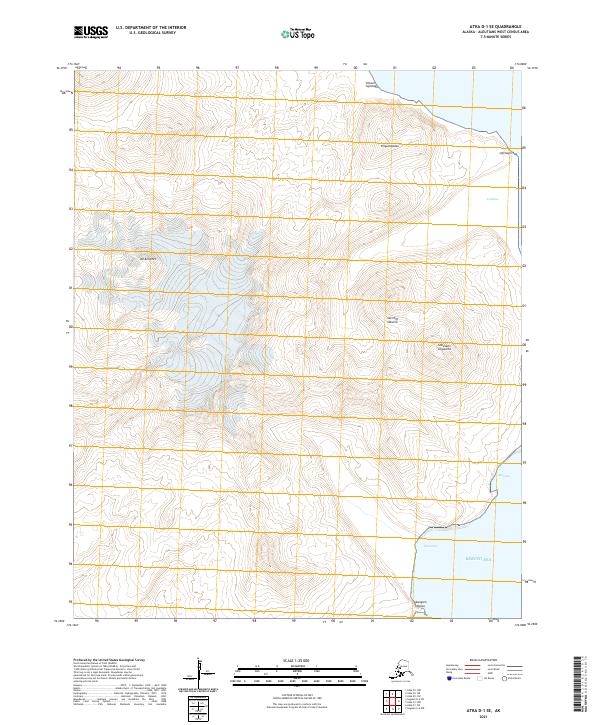
2021 · Atka D-1 SE
USGS Topo · 1:25,000
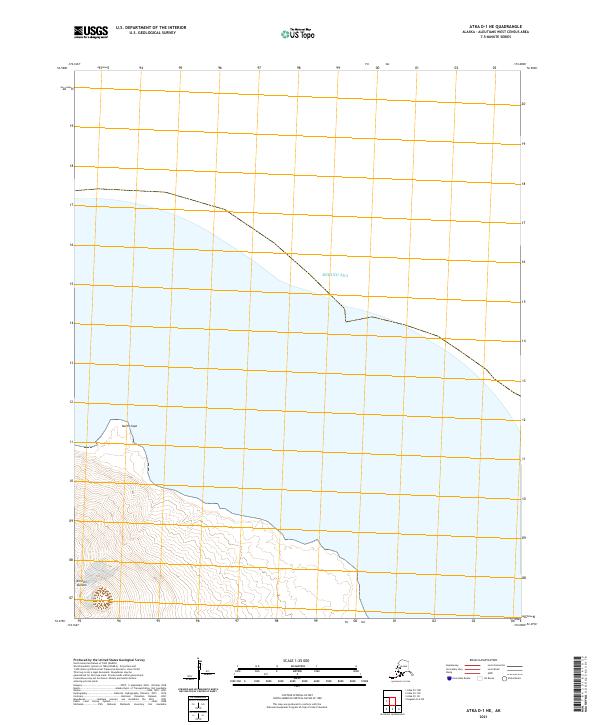
2021 · Atka D-1 NE
USGS Topo · 1:25,000
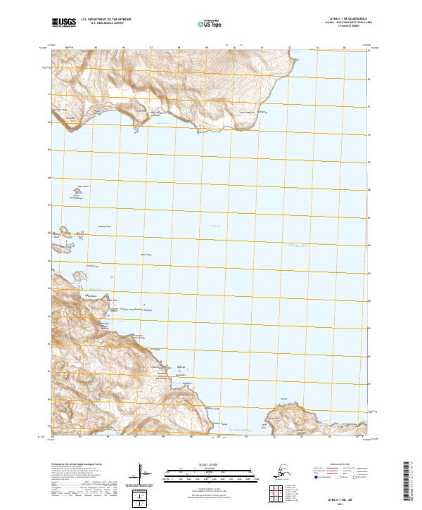
2021 · Atka C-1 NE
USGS Topo · 1:25,000