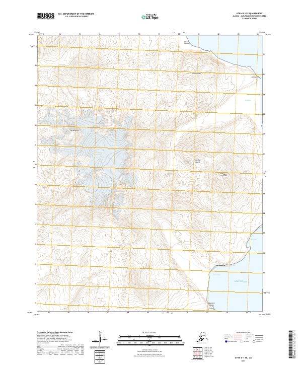
2021 Map of Atka D-1 SE
USGS Topo · Published 2021About this map
Sarichef Volcano dominates this volcanic landscape on Atka Island, rising above a terrain defined by dramatic peaks and coastal indents along the Bering Sea. The 2021 survey documents the complex topography of this remote Aleutian reach, where high elevation markers like Mt Kliuchef stand in proximity to traditional Unangam Tunuu place names. The distribution of names such as Simsum-tugimaga and Kliguchaadax reflects a deep-rooted geographic heritage that persists even in this uninhabited area of the archipelago.
Find a feature on this map
15 named features on this map. Tap any name to fly to it.
Don’t see what you’re looking for? This feature index may not catch every label — zoom into the map to look around manually.
Map Details
Editions of this 2021 Atka D-1 SE Map
This is the sole edition of this map. No revisions or reprints were ever made.
Other maps of this area

1951 · Seguam
USGS Topo · 1:250,000

1952 · Atka
USGS Topo · 1:250,000

1958 · Seguam
USGS Topo · 1:250,000

1959 · Atka
USGS Topo · 1:250,000
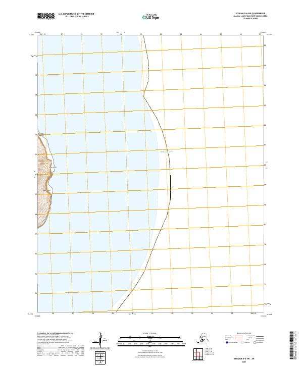
2021 · Seguam D-6 SW
USGS Topo · 1:25,000
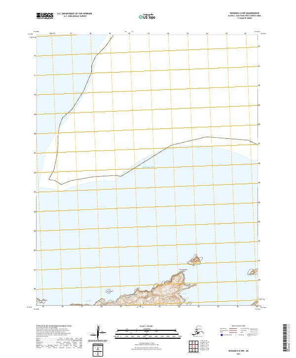
2021 · Seguam C-6 NW
USGS Topo · 1:25,000
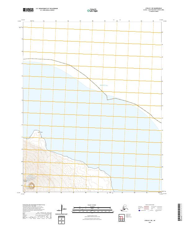
2021 · Atka D-1 NE
USGS Topo · 1:25,000
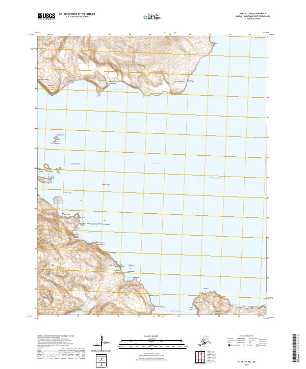
2021 · Atka C-1 NE
USGS Topo · 1:25,000
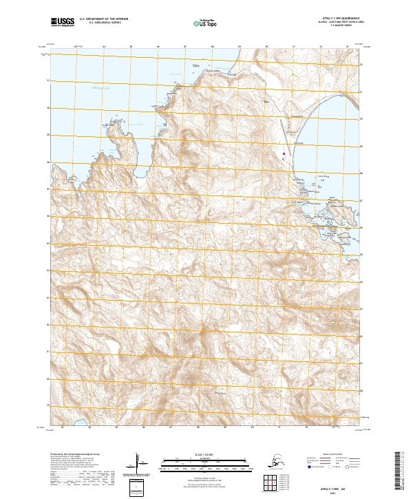
2021 · Atka C-1 NW
USGS Topo · 1:25,000
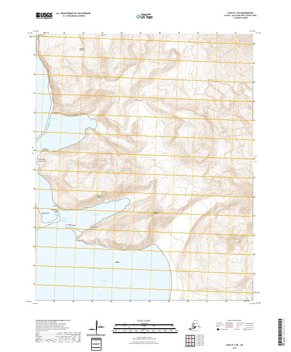
2021 · Atka D-1 SW
USGS Topo · 1:25,000