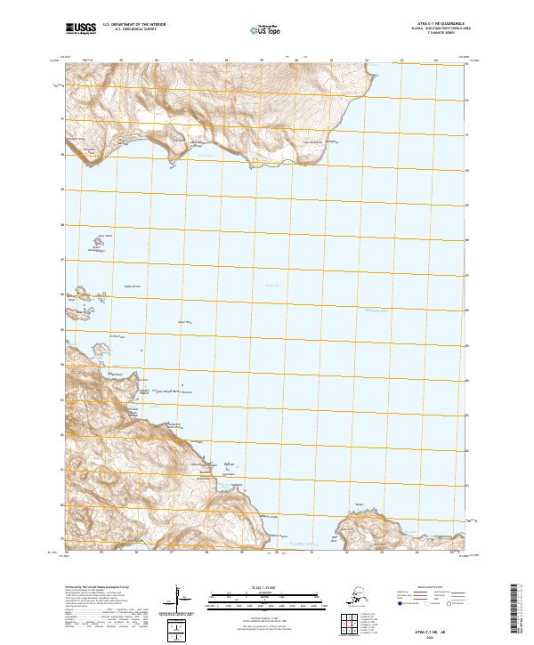
2021 Map of Atka C-1 NE
USGS Topo · Published 2021About this map
Nazan Bay and the turbulent waters of Amlia Pass define this maritime landscape in the Aleutians West Census Area. This coastal survey detail reveals a complex shoreline where the Bering Sea meets the Pacific Ocean through a network of rocky promontories and secluded inlets like Malas Udaa. The map documents a traditional Unangan geographical context, preserving indigenous place names such as Aaguliigagix and Yaxagim Angaa alongside colonial designations like Cape Kudugnak and Palisades Point. Small offshore features, including Uyak Island and the isolated Outer Rock, serve as critical navigation markers along these Aleutian shores. The topography is characterized by steep coastal cliffs and narrow points, including Flat Point and Profile Point, which illustrate the volcanic nature of the archipelago's terrain.
Find a feature on this map
56 named features on this map. Tap any name to fly to it.
Don’t see what you’re looking for? This feature index may not catch every label — zoom into the map to look around manually.
Map Details
Editions of this 2021 Atka C-1 NE Map
This is the sole edition of this map. No revisions or reprints were ever made.
Other maps of this area

1951 · Seguam
USGS Topo · 1:250,000

1952 · Atka
USGS Topo · 1:250,000

1958 · Seguam
USGS Topo · 1:250,000

1959 · Atka
USGS Topo · 1:250,000
2021 · Seguam D-6 SW
USGS Topo · 1:25,000
2021 · Seguam C-6 NW
USGS Topo · 1:25,000
2021 · Atka D-1 SE
USGS Topo · 1:25,000
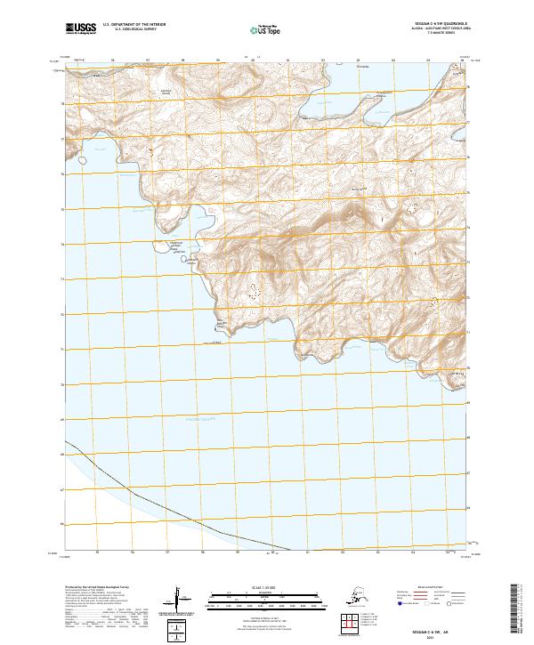
2021 · Seguam C-6 SW
USGS Topo · 1:25,000
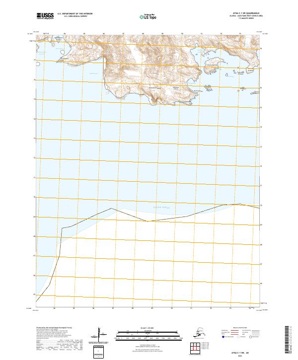
2021 · Atka C-1 SW
USGS Topo · 1:25,000
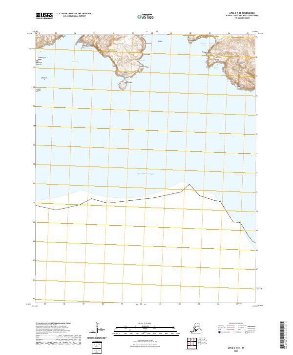
2021 · Atka C-1 SE
USGS Topo · 1:25,000