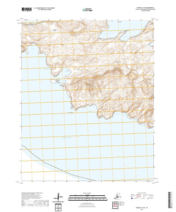
2021 Map of Seguam C-6 SW
USGS Topo · Published 2021About this map
Amlia Island dominates this 2021 topographic survey within the Aleutian Islands, revealing a landscape defined by Indigenous Unangan place names and coastal features. The southern coastline faces the Pacific Ocean, marked by distinctive landmarks such as Haystack Rock and Cape Misty. The complexity of the shoreline is evident in the numerous inlets and points, including Hiitxagiidam- qagangan Udaa and Tanagayugim Hidaluu.
Find a feature on this map
31 named features on this map. Tap any name to fly to it.
Don’t see what you’re looking for? This feature index may not catch every label — zoom into the map to look around manually.
Map Details
Editions of this 2021 Seguam C-6 SW Map
This is the sole edition of this map. No revisions or reprints were ever made.
Other maps of this area

1951 · Seguam
USGS Topo · 1:250,000

1952 · Atka
USGS Topo · 1:250,000

1958 · Seguam
USGS Topo · 1:250,000

1959 · Atka
USGS Topo · 1:250,000
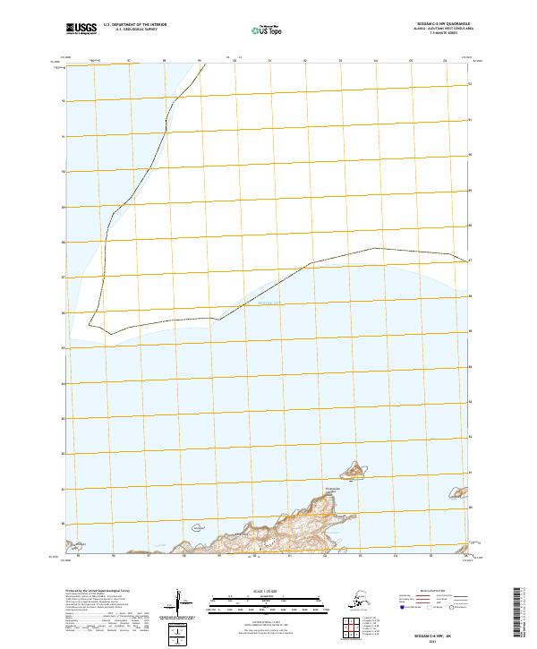
2021 · Seguam C-6 NW
USGS Topo · 1:25,000
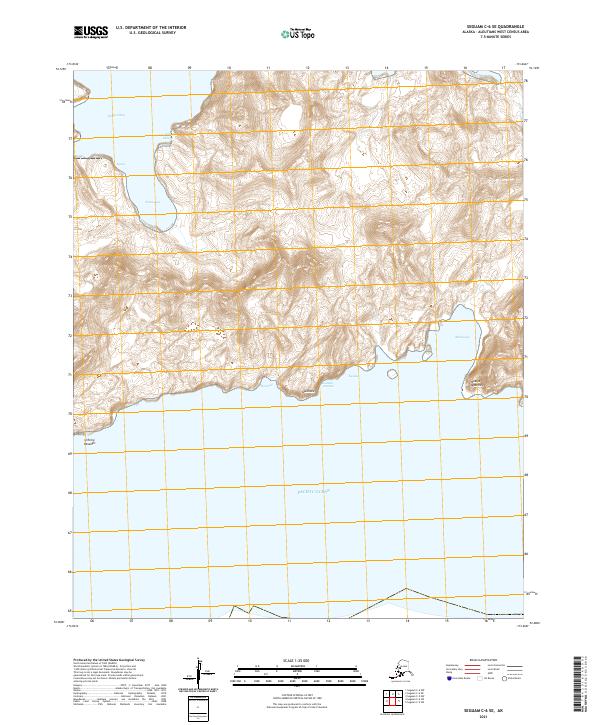
2021 · Seguam C-6 SE
USGS Topo · 1:25,000
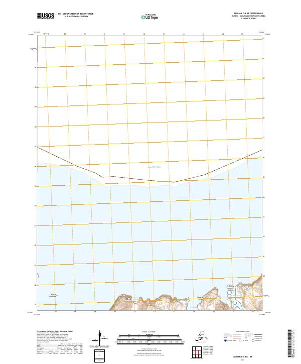
2021 · Seguam C-6 NE
USGS Topo · 1:25,000
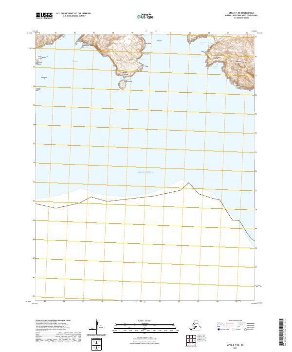
2021 · Atka C-1 SE
USGS Topo · 1:25,000
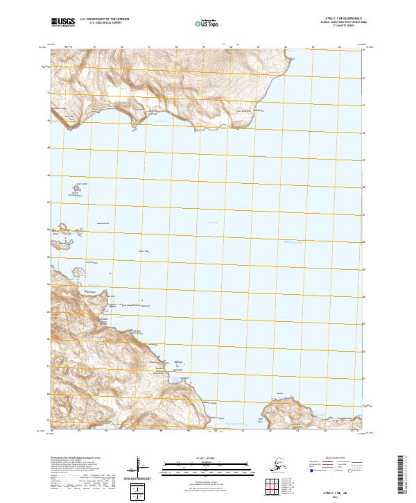
2021 · Atka C-1 NE
USGS Topo · 1:25,000