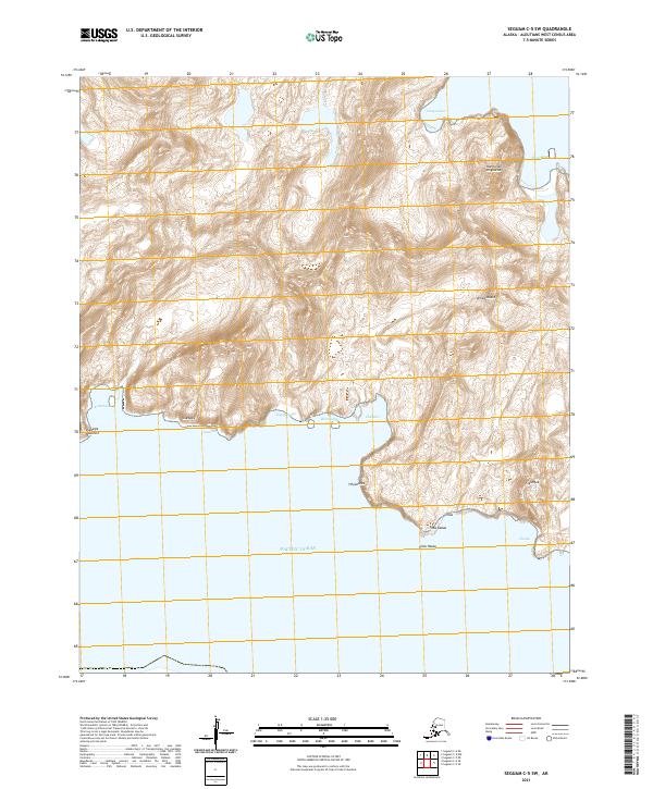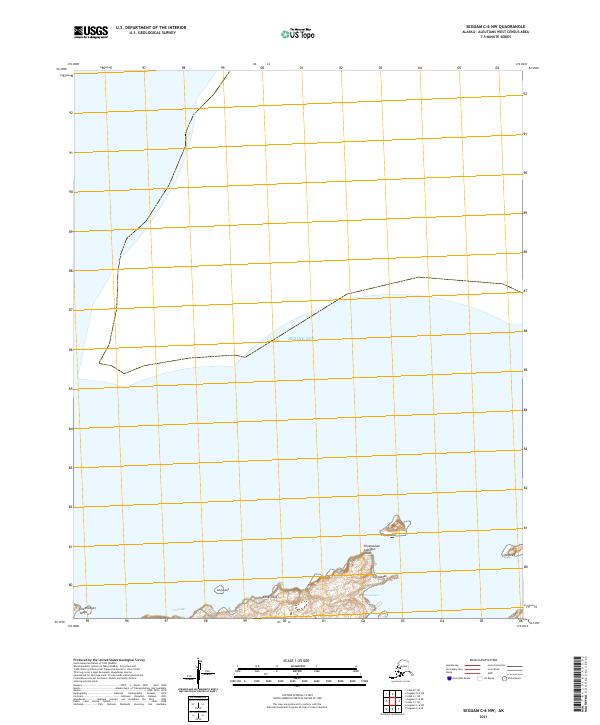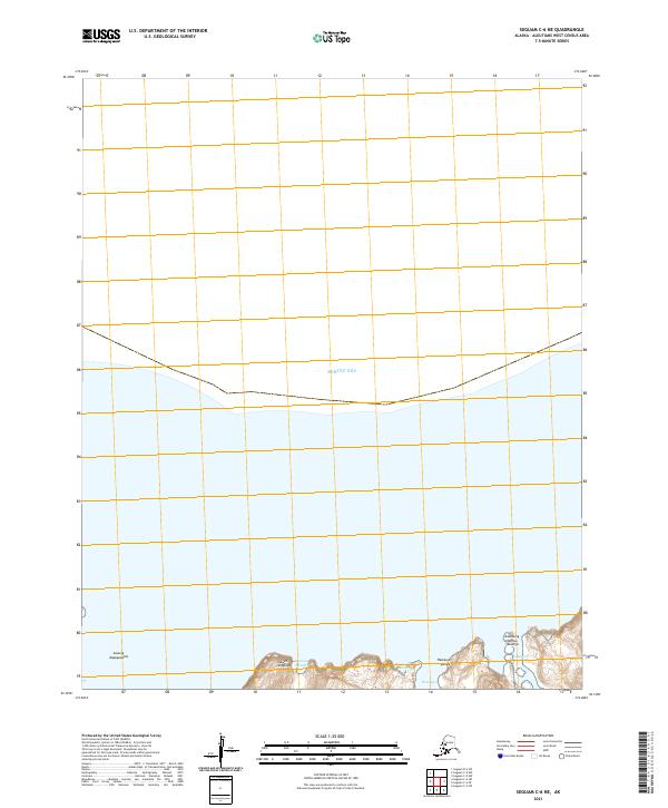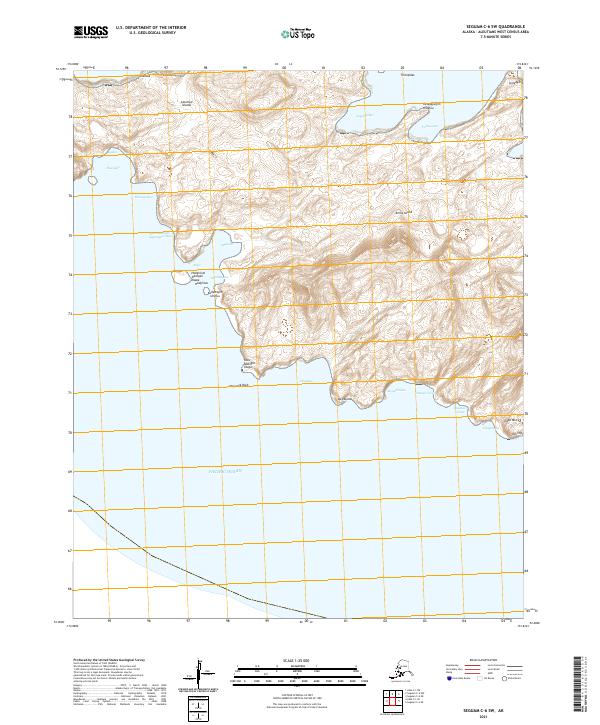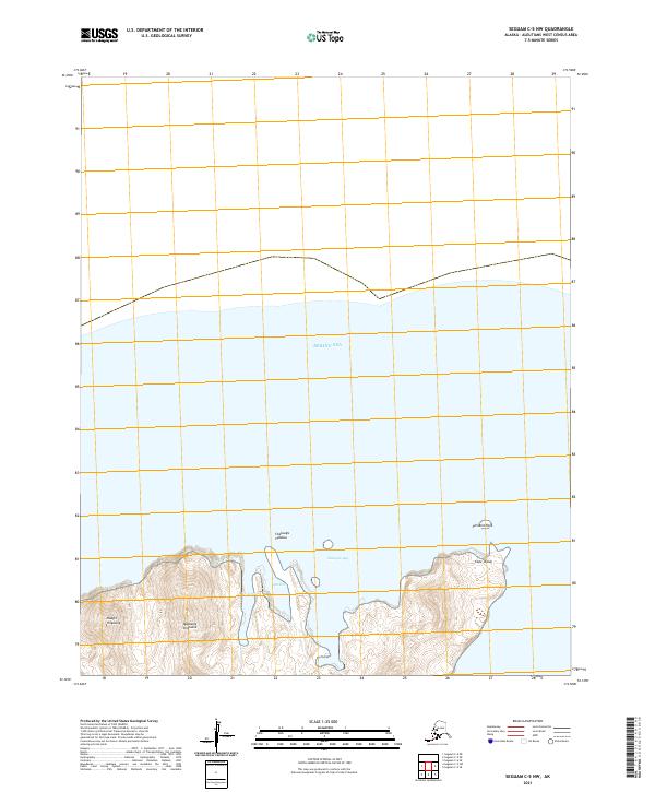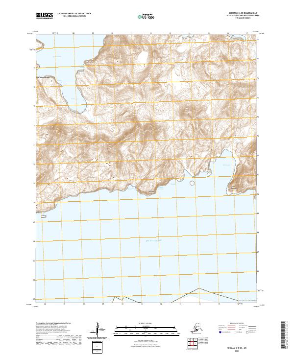
2021 Map of Seguam C-6 SE
USGS Topo · Published 2021About this map
Hungry Bay and the northern reaches of the Pacific Ocean define the remote coastal environment of Seguam Island. This 2021 survey illustrates a landscape dominated by dramatic elevation changes and a rugged shoreline, where the terrain rises sharply from inlets like Amunaxagix Suluga and Agdas. The map preserves numerous indigenous place names, marking coastal features such as Qasilasix and Hanisxa, which reflect the deep cultural geography of the Aleutians West area. To the east, the waters of Malxiaga and the point at Naagix Qaxchxix illustrate the complexity of the island's southern fringe, while inland features like Kaalam-tutucha and Kaalax emphasize the isolation of this uninhabited maritime territory.
Find a feature on this map
17 named features on this map. Tap any name to fly to it.
Don’t see what you’re looking for? This feature index may not catch every label — zoom into the map to look around manually.
Map Details
Editions of this 2021 Seguam C-6 SE Map
This is the sole edition of this map. No revisions or reprints were ever made.