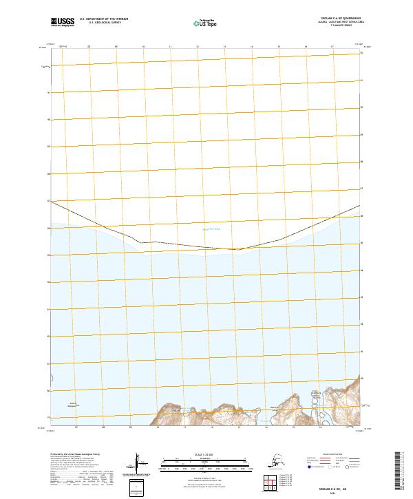
2021 Map of Seguam C-6 NE
USGS Topo · Published 2021About this map
The Bering Sea dominates the northern expanse of this survey, defining the rugged coastal interface of the Aleutian landscape. In the southern portion of the sheet, a series of traditional Unangam Tunuu place names identify specific coastal landforms and maritime features. Notable landmarks include the elevations of Atuun-Aagayuuktas and the coastal areas of Tukum-sngaluga and Saqusax Qachxis. These indigenous designations provide essential geographic context for the shoreline of this remote region.
Find a feature on this map
11 named features on this map. Tap any name to fly to it.
Don’t see what you’re looking for? This feature index may not catch every label — zoom into the map to look around manually.
Map Details
Editions of this 2021 Seguam C-6 NE Map
This is the sole edition of this map. No revisions or reprints were ever made.
Other maps of this area

1951 · Seguam
USGS Topo · 1:250,000

1958 · Seguam
USGS Topo · 1:250,000
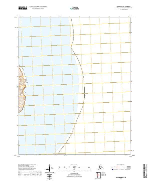
2021 · Seguam D-6 SW
USGS Topo · 1:25,000
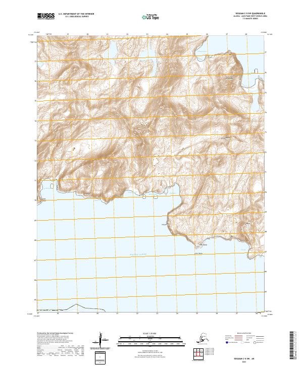
2021 · Seguam C-5 SW
USGS Topo · 1:25,000
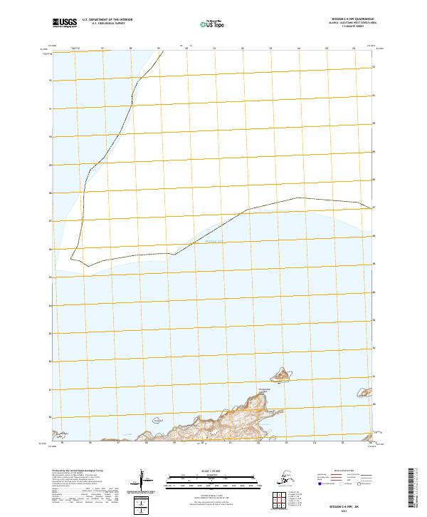
2021 · Seguam C-6 NW
USGS Topo · 1:25,000
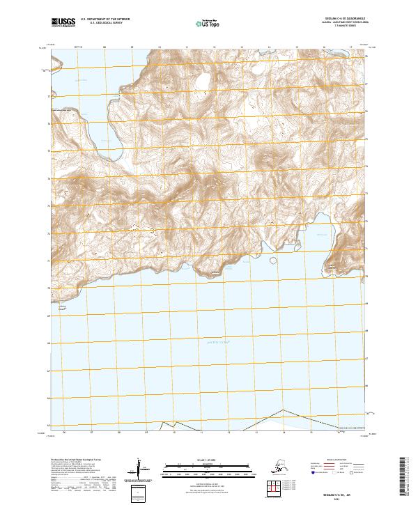
2021 · Seguam C-6 SE
USGS Topo · 1:25,000
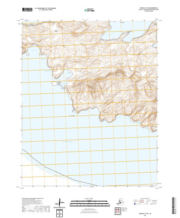
2021 · Seguam C-6 SW
USGS Topo · 1:25,000
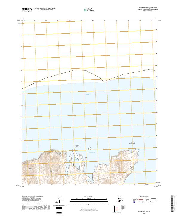
2021 · Seguam C-5 NW
USGS Topo · 1:25,000