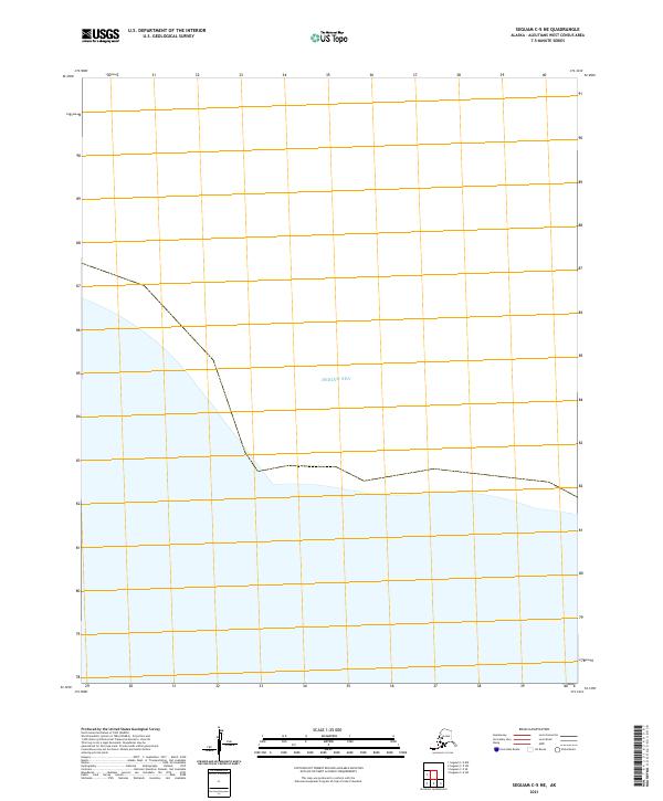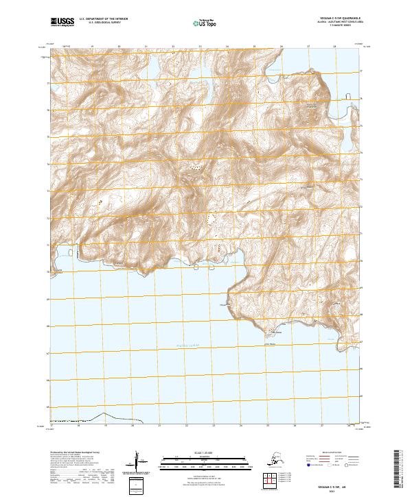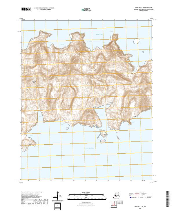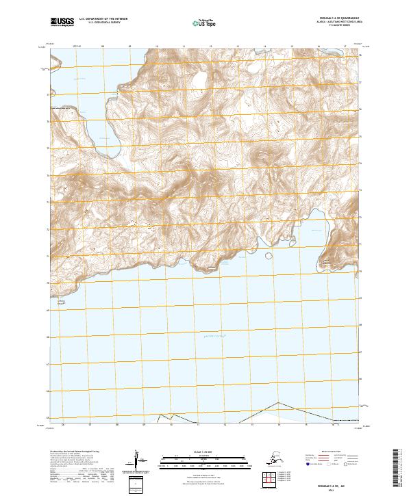
2021 Map of Seguam C-5 NW
USGS Topo · Published 2021About this map
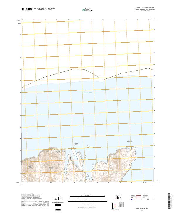
Cape Idalug and the northern coastline of Seguam Island meet the Bering Sea in this topographic survey, revealing a landscape defined by volcanic peaks and deeply recessed bays. The prominence of Naagix Kiiguusix and Qaqaagix Kiiguusix reflects the island's Aleutian formation, where steep elevation gains rise sharply from the water's edge. The indentation of Chalugas Bay is guarded by landmarks like Pinnacle Rock, while Aleut names such as Chaluugis Hidaluu and Quchix persist on the landscape. These labels, documented by the U.S. Geological Survey, record the geographical nomenclature of this remote maritime environment in the early twenty-first century. The absence of roads or permanent structures emphasizes the uninhabited and natural state of this volcanic terrain.
Find a feature on this map
11 named features on this map. Tap any name to fly to it.
Don’t see what you’re looking for? This feature index may not catch every label — zoom into the map to look around manually.
Map Details
Editions of this 2021 Seguam C-5 NW Map
This is the sole edition of this map. No revisions or reprints were ever made.