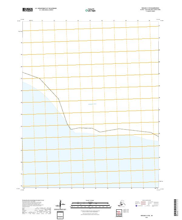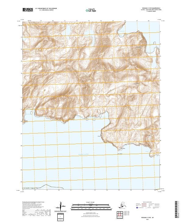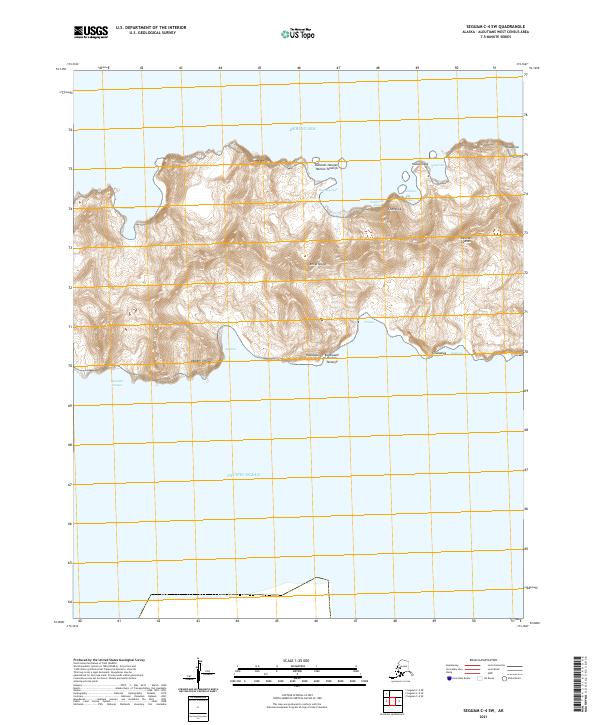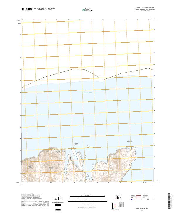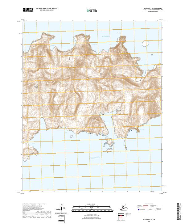
2021 Map of Seguam C-5 SE
USGS Topo · Published 2021About this map
The northern waters of the Bering Sea meet the southern reach of the Pacific Ocean at this narrow land bridge within the Andreanof Islands. This 2021 topographic survey reveals a landscape dominated by indigenous naming and maritime geography, centered on the sheltered inlet of Sviechnikof Harbor. The terrain is characterized by steep coastal elevations and named points such as Qumdaga, Ululax, and Qigagix Changanaa. This map captures a remote section of the Aleutian chain where the environment is defined by its isolation and the naming conventions of the Unangam Tunuu language.
Find a feature on this map
27 named features on this map. Tap any name to fly to it.
Don’t see what you’re looking for? This feature index may not catch every label — zoom into the map to look around manually.
Map Details
Editions of this 2021 Seguam C-5 SE Map
This is the sole edition of this map. No revisions or reprints were ever made.