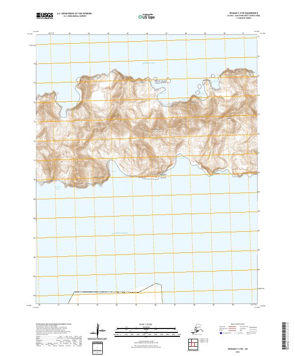
2021 Map of Seguam C-4 SW
USGS Topo · Published 2021About this map
Amlia Island sits at the maritime divide between the Bering Sea and the Pacific Ocean, shown here in a detailed survey of the southern Aleutian Islands. This isolated landscape is defined by its dramatic coastal topography, where named features like Unaaluga and Sxulux mark the transition from the high interior peaks to the rocky shoreline. The complex coastline is punctuated by features such as Ukalam Ungluu and Aguulux, reflecting a geographic inventory of Indigenous Unangam Tunuu place names.
Find a feature on this map
25 named features on this map. Tap any name to fly to it.
Don’t see what you’re looking for? This feature index may not catch every label — zoom into the map to look around manually.
Map Details
Editions of this 2021 Seguam C-4 SW Map
This is the sole edition of this map. No revisions or reprints were ever made.