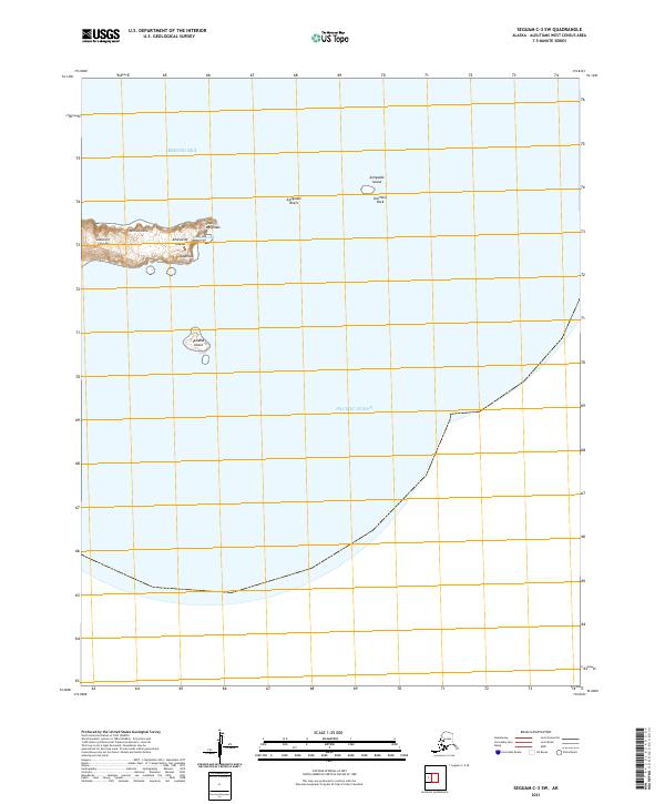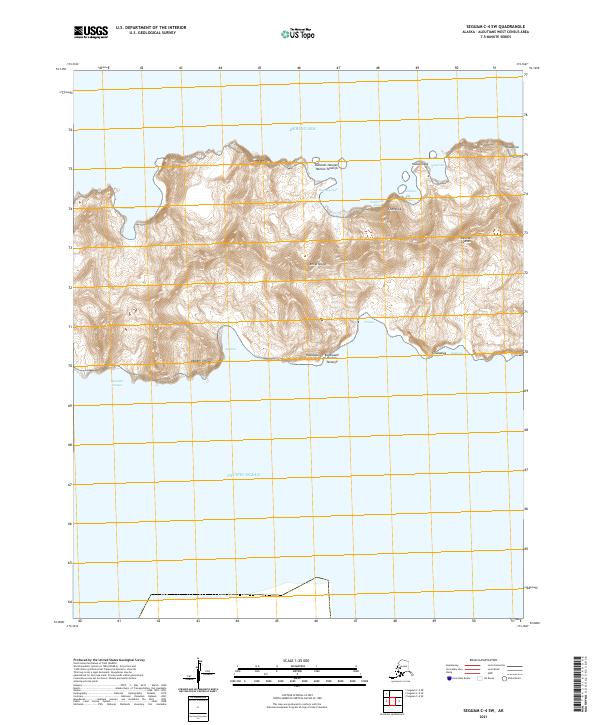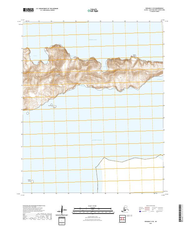
2021 Map of Seguam C-4 SE
USGS Topo · Published 2021About this map
The Andreanof Islands rise from the sea in this modern topographic study, where the northern coastlines meet the Bering Sea and the southern shores face the open Pacific Ocean. This island landscape is defined by its coastal features, from the heights of Aqimax to the southern point of Kuuchaxsis. To the southwest, Sagigik Island sits isolated in the Pacific waters. The map provides precise documentation of traditional place names along the shoreline, including Agulganaxang, Ayagas Hidaluu, and Qigaagix Usax. These labels preserve a distinct linguistic and geographic record of the Aleutian chain, marking specific points and coves like Aguunadgax and Chngadigax that define the character of this maritime environment.
Find a feature on this map
21 named features on this map. Tap any name to fly to it.
Don’t see what you’re looking for? This feature index may not catch every label — zoom into the map to look around manually.
Map Details
Editions of this 2021 Seguam C-4 SE Map
This is the sole edition of this map. No revisions or reprints were ever made.