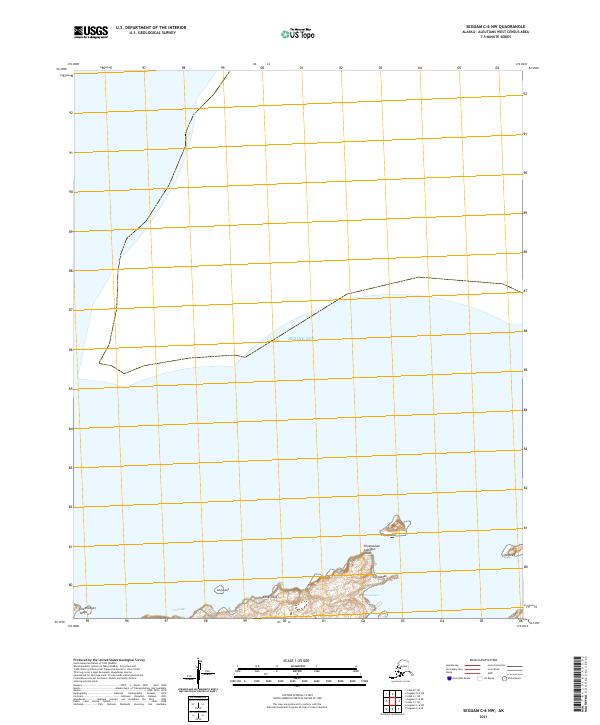
2021 Map of Seguam C-6 NW
USGS Topo · Published 2021About this map
The Bering Sea dominates this northern reach of the Aleutian Islands, where the landscape is defined by the isolated landforms of Seguam Island. This 2021 survey details the intricate shoreline and volcanic topography of the island's western and northern fringes, including the prominent heights of Chyaguulax and the coastal features of Umaatanax and Ugixaadax. The map provides a precise look at the Aleut nomenclature of the region, identifying specific points such as Chaamlagan Yaaga and Chyaguulam Adangan Yaaga. To the west, the coastline is punctuated by features like Usagiilux and Kunalisxux, while the offshore rock of Qalgizax sits isolated in the open water. This map captures a remote maritime environment where human infrastructure is entirely absent, focusing instead on the complex natural geometry of the coastline and the naming of the land by the indigenous people of the Aleutians West Census Area.
Find a feature on this map
14 named features on this map. Tap any name to fly to it.
Don’t see what you’re looking for? This feature index may not catch every label — zoom into the map to look around manually.
Map Details
Editions of this 2021 Seguam C-6 NW Map
This is the sole edition of this map. No revisions or reprints were ever made.
Other maps of this area

1951 · Seguam
USGS Topo · 1:250,000

1952 · Atka
USGS Topo · 1:250,000

1958 · Seguam
USGS Topo · 1:250,000

1959 · Atka
USGS Topo · 1:250,000
2021 · Seguam D-6 SW
USGS Topo · 1:25,000
2021 · Seguam C-6 SE
USGS Topo · 1:25,000
2021 · Seguam C-6 NE
USGS Topo · 1:25,000
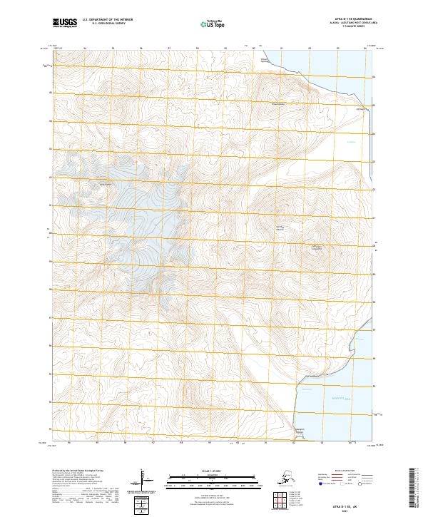
2021 · Atka D-1 SE
USGS Topo · 1:25,000
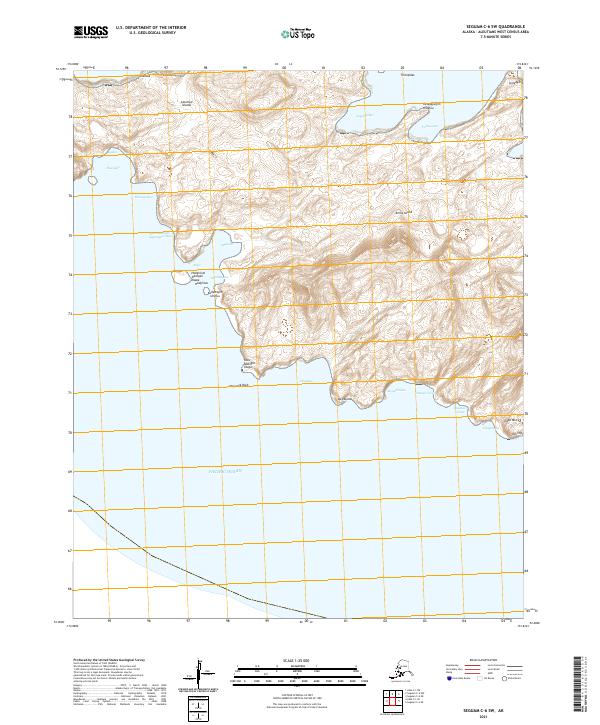
2021 · Seguam C-6 SW
USGS Topo · 1:25,000
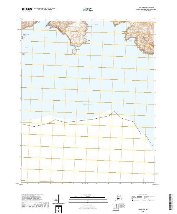
2021 · Atka C-1 SE
USGS Topo · 1:25,000