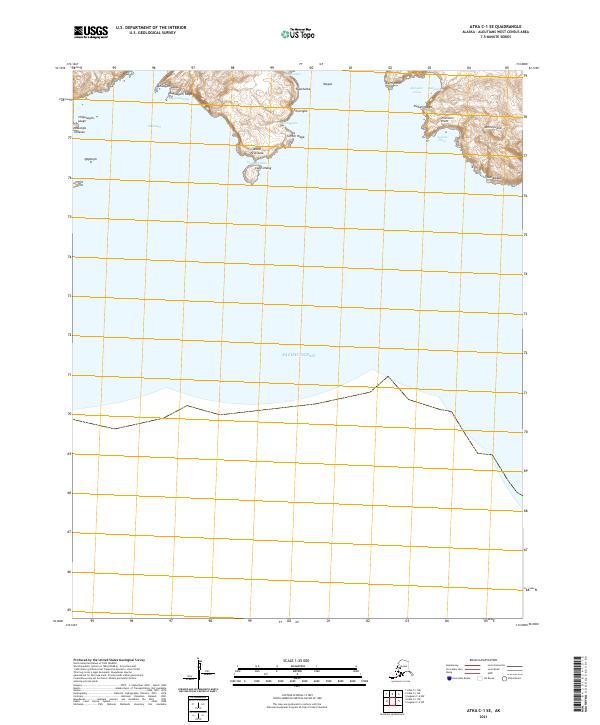
2021 Map of Atka C-1 SE
USGS Topo · Published 2021About this map
Amlia Island dominates this maritime survey of the Aleutian chain, showcasing a complex coastline of points, capes, and inlets where the land meets the Pacific Ocean. The map documents numerous traditional Unangam Tunuu place names along the shore, such as Qadudugix and Tanaangis, preserving the cultural geography of the region. The narrow Amlia Peninsula extends toward the center of the sheet, terminating near Cape Utaux and the heights of Utauxim Ixchxa.
Find a feature on this map
28 named features on this map. Tap any name to fly to it.
Don’t see what you’re looking for? This feature index may not catch every label — zoom into the map to look around manually.
Map Details
Editions of this 2021 Atka C-1 SE Map
This is the sole edition of this map. No revisions or reprints were ever made.
Other maps of this area

1951 · Seguam
USGS Topo · 1:250,000

1952 · Atka
USGS Topo · 1:250,000

1958 · Seguam
USGS Topo · 1:250,000

1959 · Atka
USGS Topo · 1:250,000
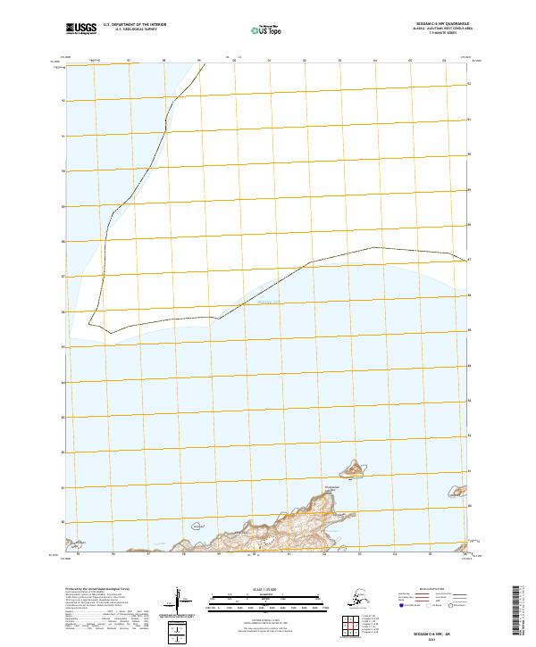
2021 · Seguam C-6 NW
USGS Topo · 1:25,000
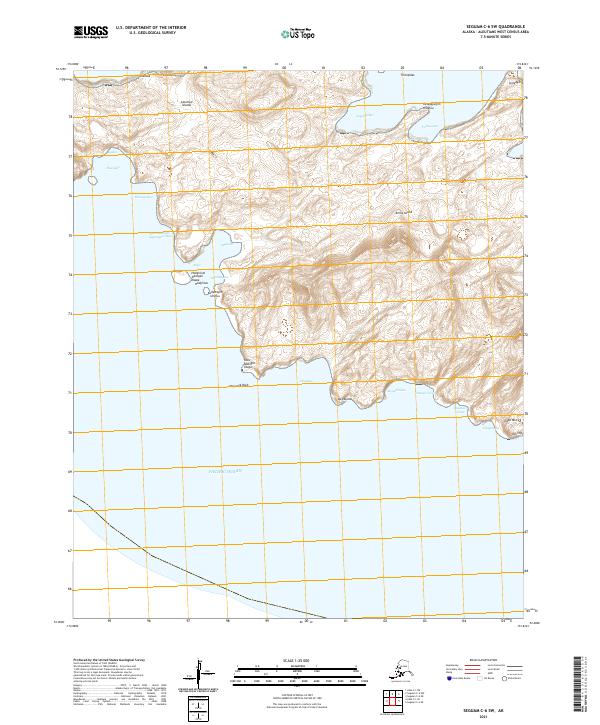
2021 · Seguam C-6 SW
USGS Topo · 1:25,000
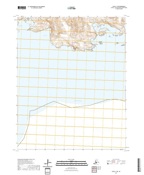
2021 · Atka C-1 SW
USGS Topo · 1:25,000
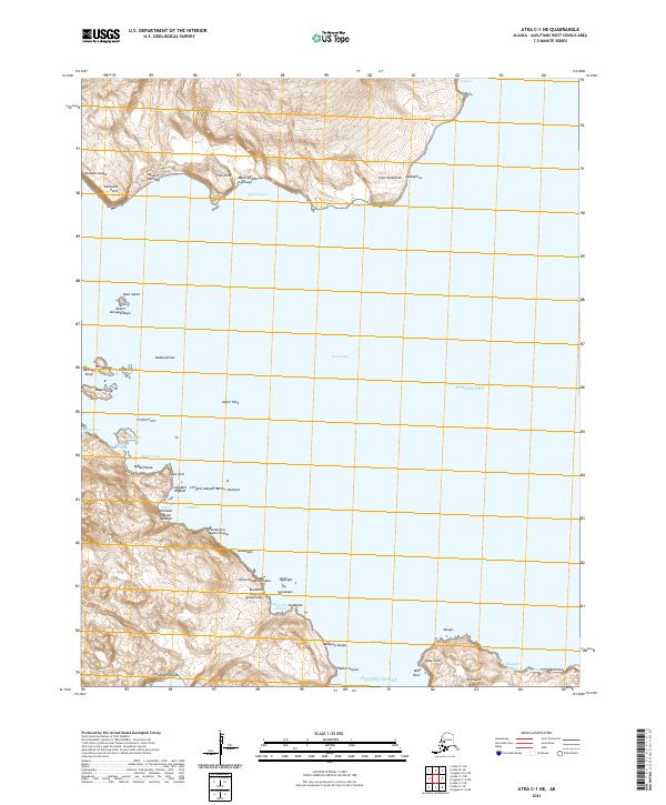
2021 · Atka C-1 NE
USGS Topo · 1:25,000
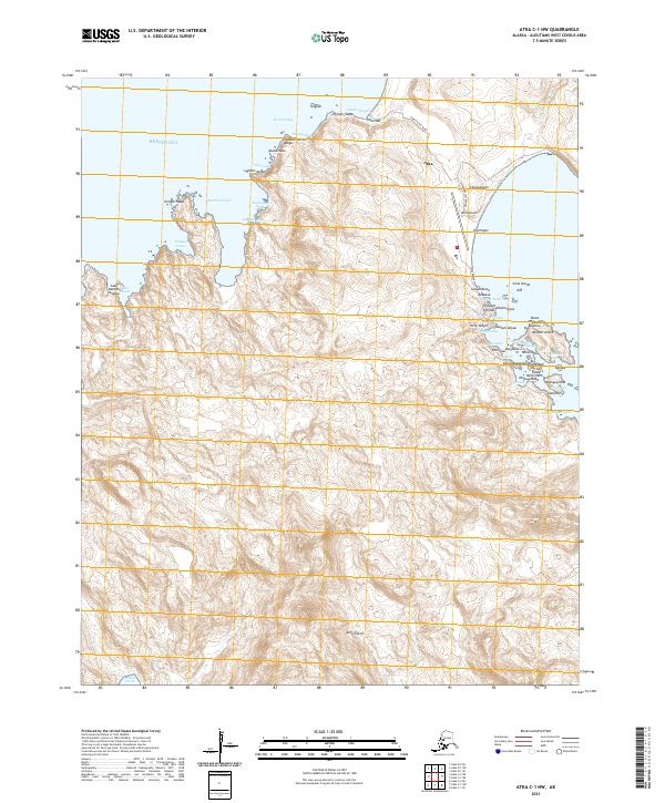
2021 · Atka C-1 NW
USGS Topo · 1:25,000