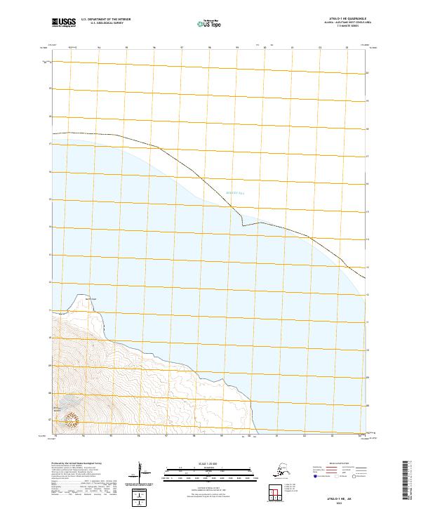
2021 Map of Atka D-1 NE
USGS Topo · Published 2021About this map
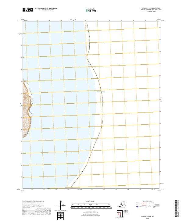
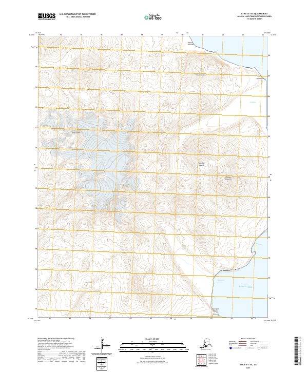
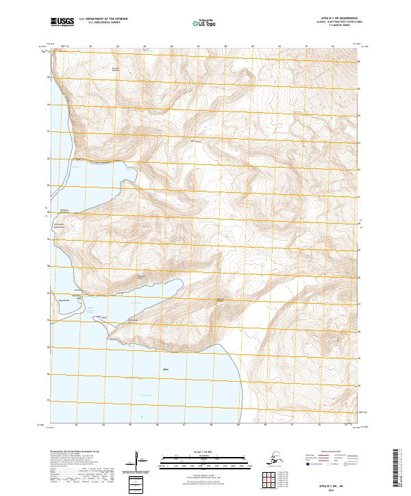
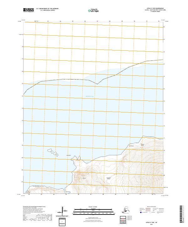
Korovin Volcano dominates the southern reaches of this maritime landscape in the Aleutian Islands, its steep northern slopes falling away toward the coastline. This 2021 survey reveals a transitional area where the volcanic terrain of Atka Island meets the Bering Sea. The map records the prominent projection of North Cape, a significant coastal landmark that defines the northernmost point of this landmass. The interior is largely characterized by the systematic grid of the Public Land Survey System, including t90s r176w, which organizes the undeveloped volcanic slopes and coastal inlets. This topographical study captures the island in its modern state, documenting the intersection of high-elevation volcanic features with the surrounding marine environment.
Find a feature on this map
6 named features on this map. Tap any name to fly to it.
Don’t see what you’re looking for? This feature index may not catch every label — zoom into the map to look around manually.
Map Details
Editions of this 2021 Atka D-1 NE Map
This is the sole edition of this map. No revisions or reprints were ever made.