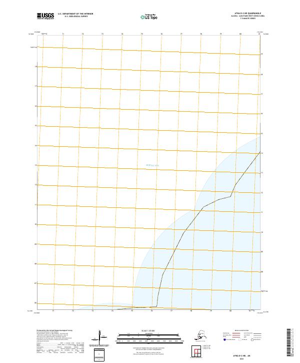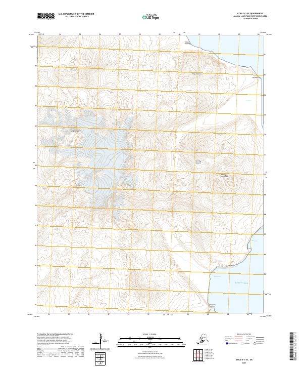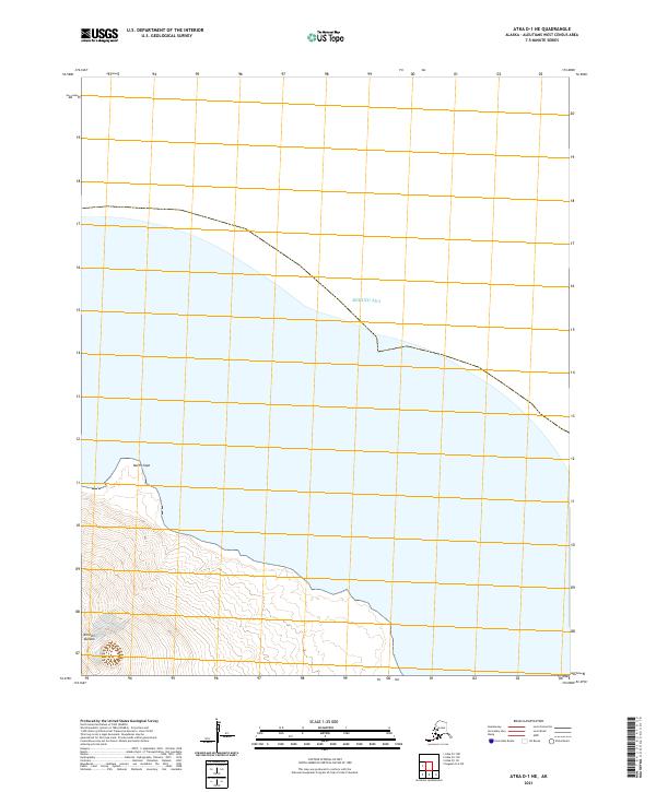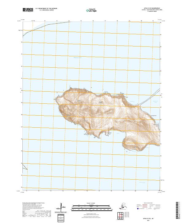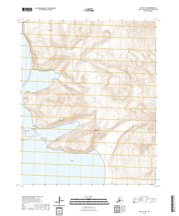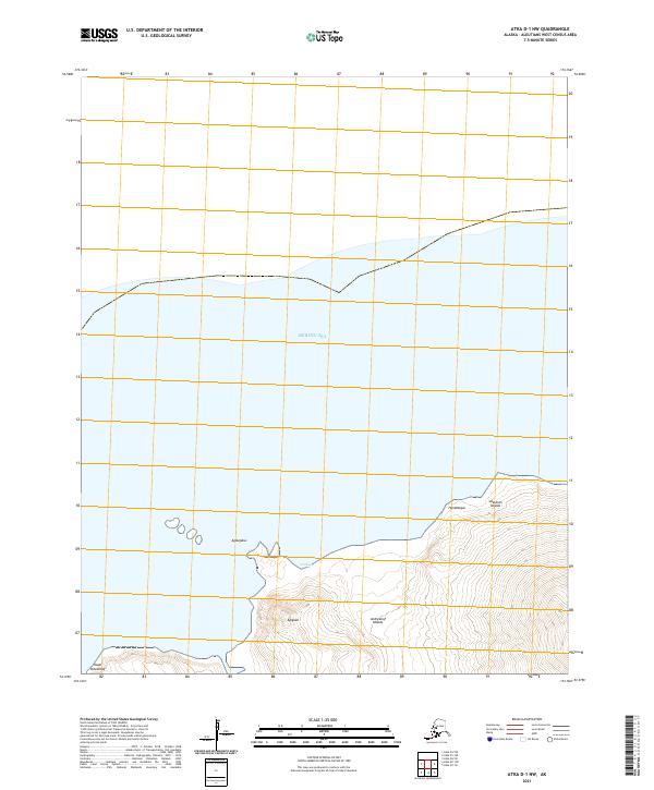
2021 Map of Atka D-1 NW
USGS Topo · Published 2021About this map
The remote northern coastline of the Andreanof Islands meets the Bering Sea in this 2021 study of the Aleutian chain. The landscape is defined by its dramatic volcanic topography and jagged coastal features, including the prominent Cape Potainikof on the western edge. This area, part of the larger Aleutian Islands, shows a rugged shore marked by distinct landmarks such as Agdugalus and Hanidagas. The interior rises sharply from the water at Utxilos toward unnamed peaks, while coastal elevations like Agignax and Hanidaagus provide reference points for this sparsely populated maritime environment. The absence of roads or settlements underscores the wilderness character of the region, where only the survey lines of the Public Land Survey System, including t90s r176w, impose a human grid upon the terrain.
Find a feature on this map
12 named features on this map. Tap any name to fly to it.
Don’t see what you’re looking for? This feature index may not catch every label — zoom into the map to look around manually.
Map Details
Editions of this 2021 Atka D-1 NW Map
This is the sole edition of this map. No revisions or reprints were ever made.