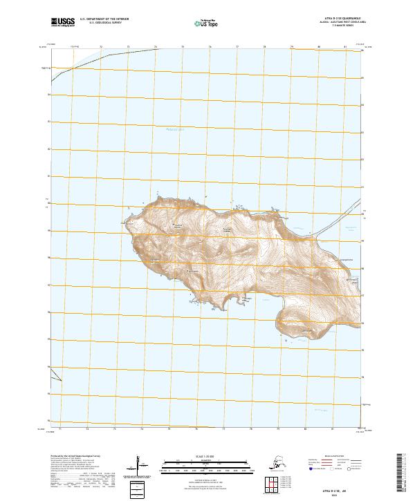
2021 Map of Atka D-2 SE
USGS Topo · Published 2021About this map
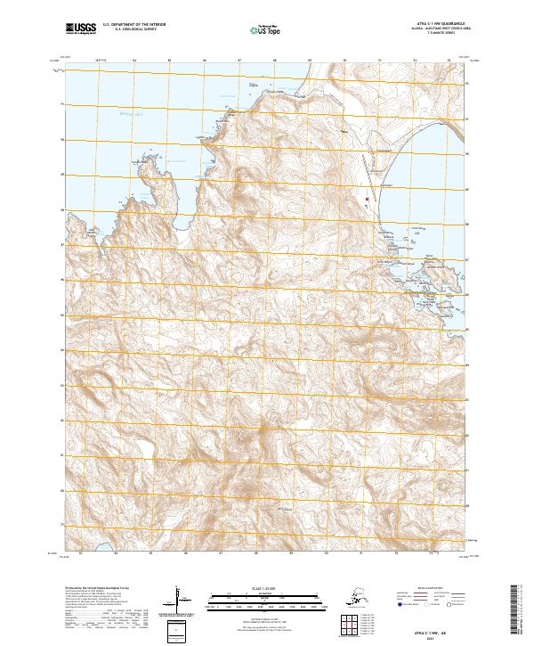
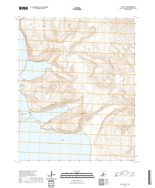
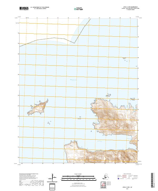
Atka Island, part of the Andreanof Islands in the Aleutian Islands chain, presents a landscape defined by its maritime isolation and Indigenous Unangam Tunuu toponymy. The terrain shown here, situated between the Bering Sea and the northern reaches of Korovin Bay, is characterized by coastal features such as Cape Korovin and Urilus. Traditional place names like Ugimgim Qaklaga, Siihmlugis, and Chuklidgis Hidaluu dominate the interior and shoreline, reflecting the deep cultural heritage of the area. The absence of roads or permanent settlements within these boundaries highlights the remote nature of this portion of the island, where the topography rises from the water to peaks like Milnicham-yaaga. Small coastal inlets including Saquugam-tatuu and Qatxas provide a detailed look at the island's complex northern edge.
Find a feature on this map
24 named features on this map. Tap any name to fly to it.
Don’t see what you’re looking for? This feature index may not catch every label — zoom into the map to look around manually.
Map Details
Editions of this 2021 Atka D-2 SE Map
This is the sole edition of this map. No revisions or reprints were ever made.