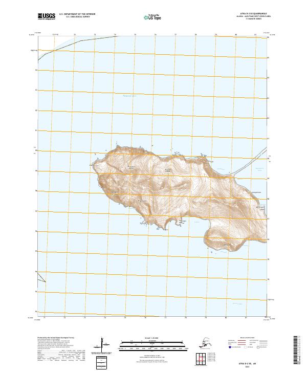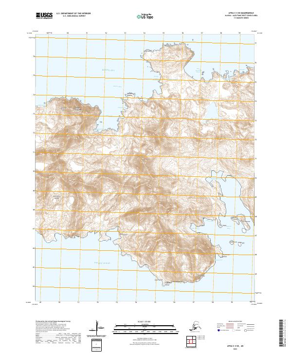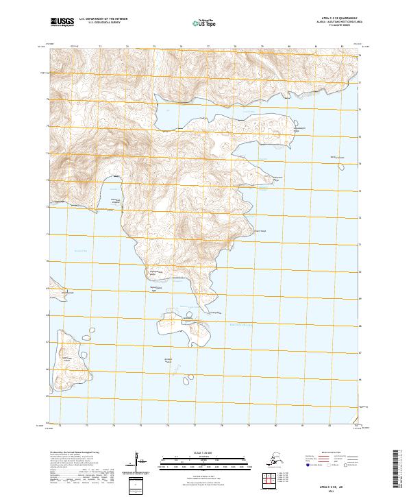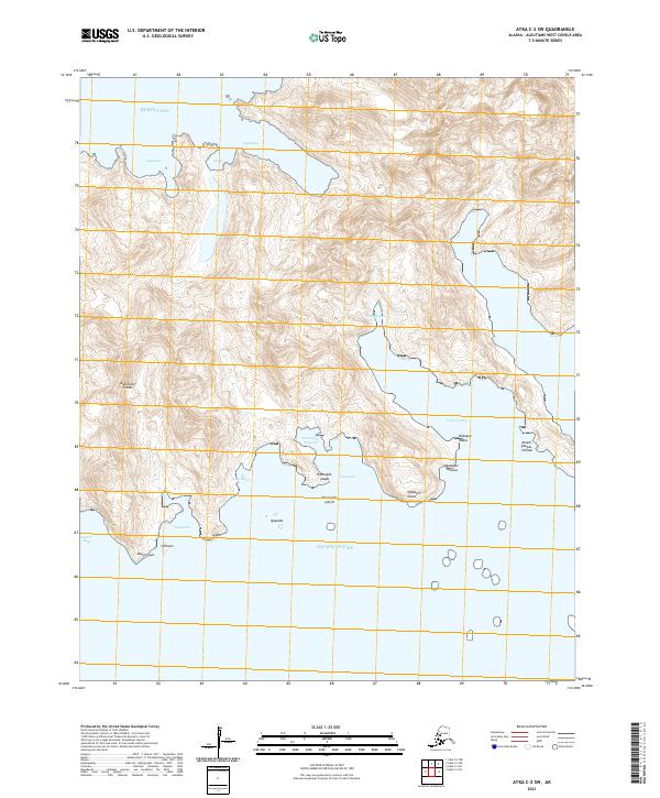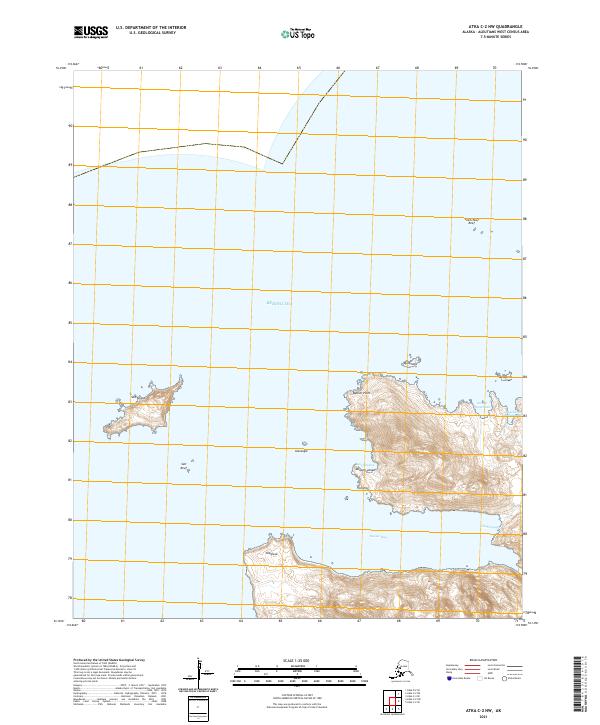
2021 Map of Atka C-2 NW
USGS Topo · Published 2021About this map
The vast and unpredictable Bering Sea dominates this corner of the Aleutian Chain, surrounding the volcanic landmasses and submerged reefs of the central archipelago. This 2021 study documents the relationship between the dramatic coastal elevations and the surrounding marine environment, where the shoreline is defined by steep ridges and deep coastal inlets. The terrain shown represents a landscape shaped by extreme maritime weather and geological forces, typical of the remote reaches of the Aleutians West Census Area. This contemporary data provides a precise record of the current coastline and bathymetric characteristics of this northern Pacific region.
Find a feature on this map
1 named feature on this map. Tap any name to fly to it.
Don’t see what you’re looking for? This feature index may not catch every label — zoom into the map to look around manually.
Map Details
Editions of this 2021 Atka C-2 NW Map
This is the sole edition of this map. No revisions or reprints were ever made.