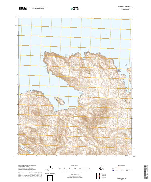
2021 Map of Atka C-2 NE
USGS Topo · Published 2021About this map
Atka Island presents a complex coastline along the Bering Sea, defined by deep inlets and traditional Unangam Tunuu place names. The interior is dominated by steep volcanic topography, where features like Hachuugix Hilixsax and Qaluugix Hilixsax rise above the surrounding waters. Large coastal indentations including Egg Bay and Korovin Bay serve as significant maritime landmarks, while the presence of Egg Island and Nan- changanax illustrates the fragmented nature of the Aleutian archipelago.
Find a feature on this map
27 named features on this map. Tap any name to fly to it.
Don’t see what you’re looking for? This feature index may not catch every label — zoom into the map to look around manually.
Map Details
Editions of this 2021 Atka C-2 NE Map
This is the sole edition of this map. No revisions or reprints were ever made.
Other maps of this area

1952 · Atka
USGS Topo · 1:250,000

1959 · Atka
USGS Topo · 1:250,000
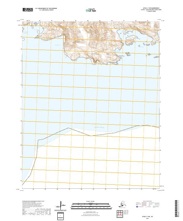
2021 · Atka C-1 SW
USGS Topo · 1:25,000
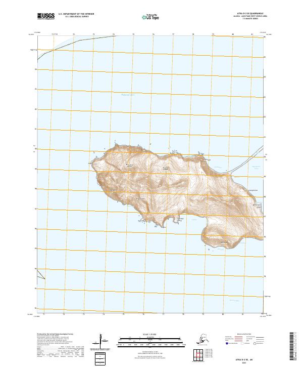
2021 · Atka D-2 SE
USGS Topo · 1:25,000
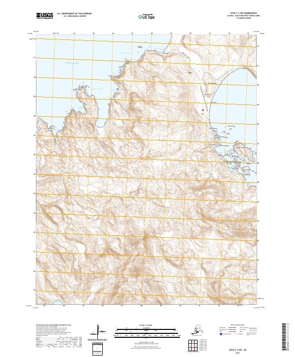
2021 · Atka C-1 NW
USGS Topo · 1:25,000
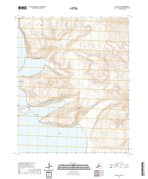
2021 · Atka D-1 SW
USGS Topo · 1:25,000
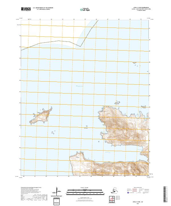
2021 · Atka C-2 NW
USGS Topo · 1:25,000
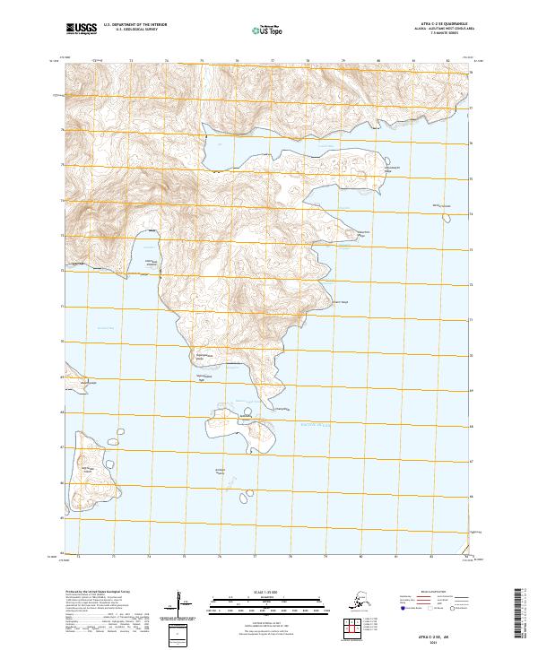
2021 · Atka C-2 SE
USGS Topo · 1:25,000
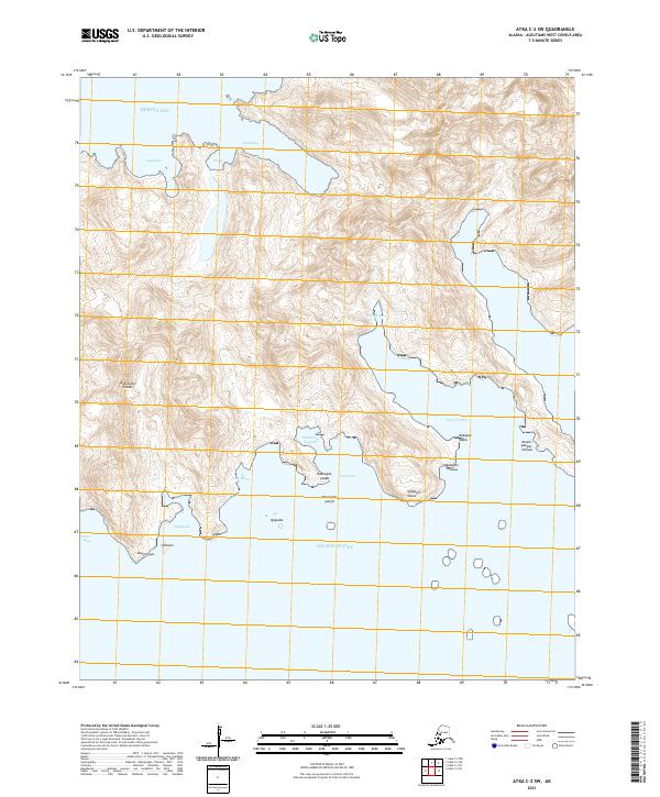
2021 · Atka C-2 SW
USGS Topo · 1:25,000