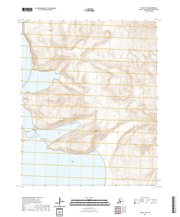
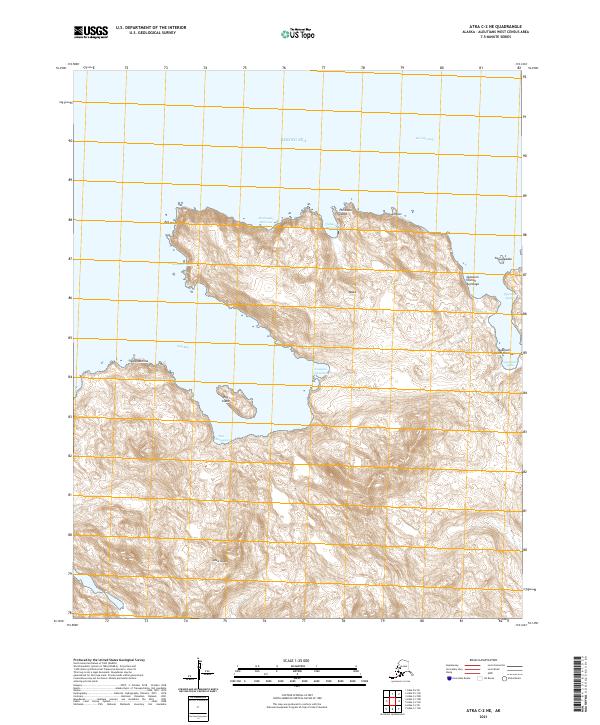
2021 Map of Atka D-1 SW
USGS Topo · Published 2021About this map
Conical Volcano dominates the northern interior of this portion of Atka Island, standing above a landscape of steep glacial valleys and complex coastal inlets. This coastal reach of the Aleutians West Census Area is defined by deep bays like Korovin Bay and Kangixtax, where the land meets the Bering Sea. The map preserves a rich layer of indigenous toponymy, marking landmarks such as Tagalam Angtaa, Qaluugix Tiglix, and Ugilga. These names reflect the historical and cultural significance of the island's geography to the Unangam Tunuu speakers of the region. The interplay of high volcanic peaks like Tunmsax and intricate waterways like Sitxaxsix illustrates the challenging environment of the central Aleutians, where traditional maritime knowledge is essential for navigating the complex shoreline.
Find a feature on this map
25 named features on this map. Tap any name to fly to it.
Don’t see what you’re looking for? This feature index may not catch every label — zoom into the map to look around manually.
Map Details
Editions of this 2021 Atka D-1 SW Map
This is the sole edition of this map. No revisions or reprints were ever made.
Other maps of this area

1952 · Atka
USGS Topo · 1:250,000

1959 · Atka
USGS Topo · 1:250,000
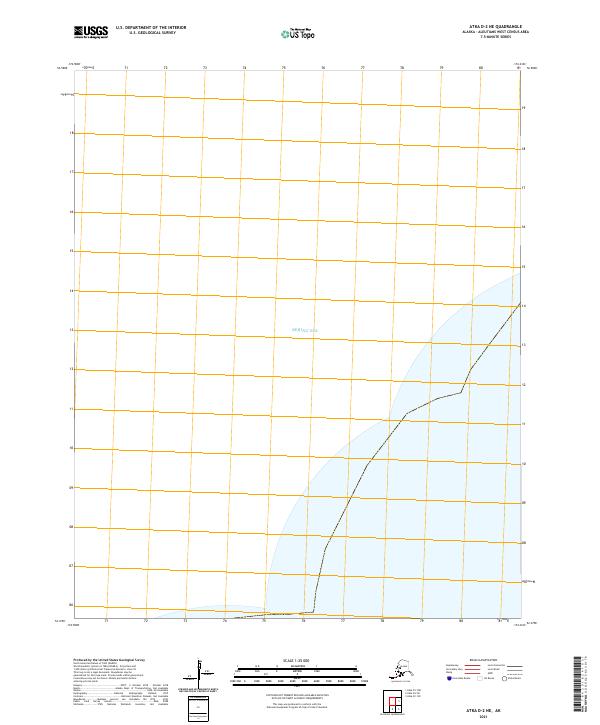
2021 · Atka D-2 NE
USGS Topo · 1:25,000
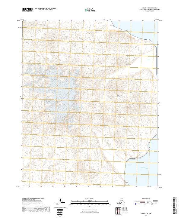
2021 · Atka D-1 SE
USGS Topo · 1:25,000
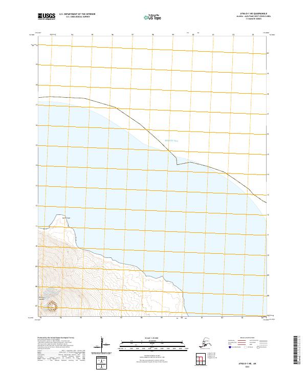
2021 · Atka D-1 NE
USGS Topo · 1:25,000
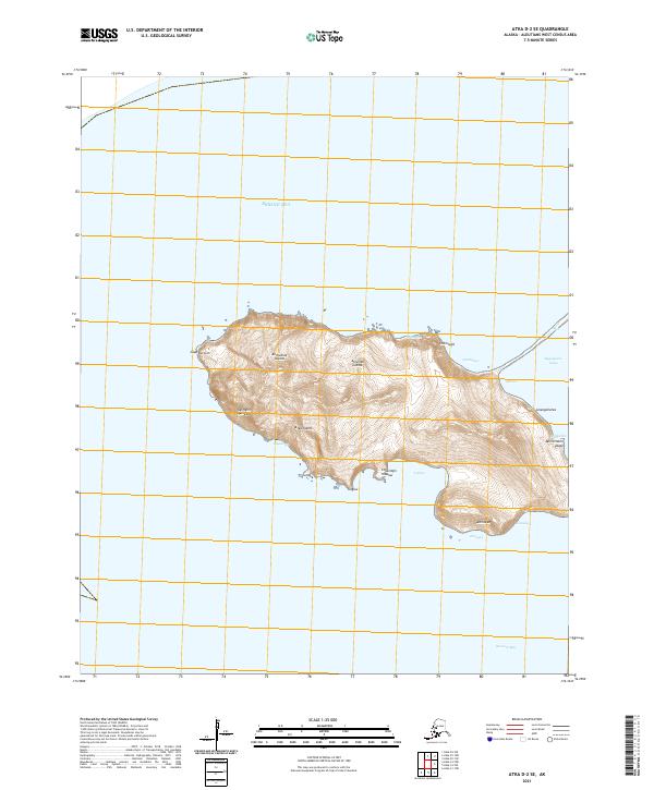
2021 · Atka D-2 SE
USGS Topo · 1:25,000
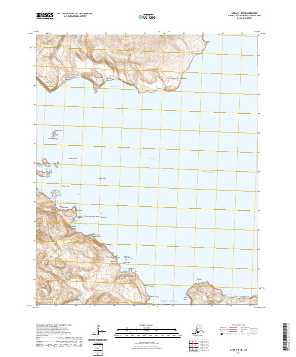
2021 · Atka C-1 NE
USGS Topo · 1:25,000
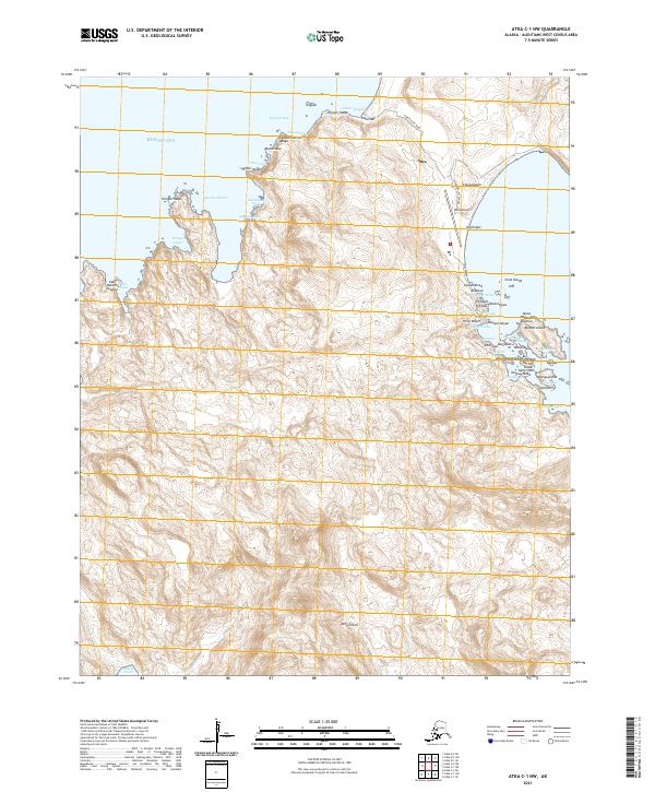
2021 · Atka C-1 NW
USGS Topo · 1:25,000
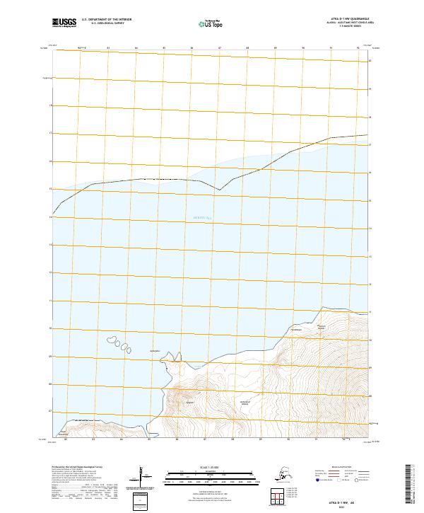
2021 · Atka D-1 NW
USGS Topo · 1:25,000
2021 · Atka C-2 NE
USGS Topo · 1:25,000