2021 Map of Atka D-2 NE
USGS Topo · Published 2021About this map
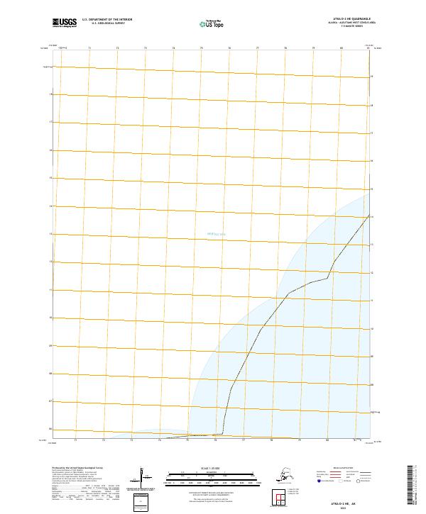
The Bering Sea dominates this nautical landscape within the Atka D-2 NE quadrangle, where the maritime boundary of the Aleutian Islands meets open water. This 2021 survey illustrates the precise legal and geographic coordinates of the region, including the township and range designations of t90s r177w. As an archival record of the Aleutians West Census Area, the sheet focuses on the intersection of maritime territory and official land survey grids in one of the most remote maritime corridors of the United States. While the map is devoid of terrestrial settlements, it provides the essential coastal geometry and hydrographic data used by the U.S. Geological Survey to define this specific reach of the North Pacific.
Find a feature on this map
2 named features on this map. Tap any name to fly to it.
Don’t see what you’re looking for? This feature index may not catch every label — zoom into the map to look around manually.
Map Details
Editions of this 2021 Atka D-2 NE Map
This is the sole edition of this map. No revisions or reprints were ever made.