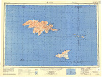
1952 Map of Attu
USGS Topo · Published 1958About this map
Attu Island and the surrounding Semichi Islands are depicted here in the early 1950s, following a decade of intense military activity in the North Pacific. The presence of Navy Town near Massacre Bay and various airstrips reflects the strategic importance of this westernmost Aleutian outpost during and after the war. This survey captures a specific military-industrial landscape where natural features like Attu Mountain and Etienne Lake share the terrain with coastal installations.
Find a feature on this map
92 named features on this map. Tap any name to fly to it.
Don’t see what you’re looking for? This feature index may not catch every label — zoom into the map to look around manually.
Map Details
Editions of this 1952 Attu Map
3 editions found
Other maps of this area

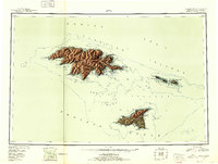
1952 · Attu
USGS Topo · 1:250,000

1953 · Attu
USGS Topo · 1:250,000
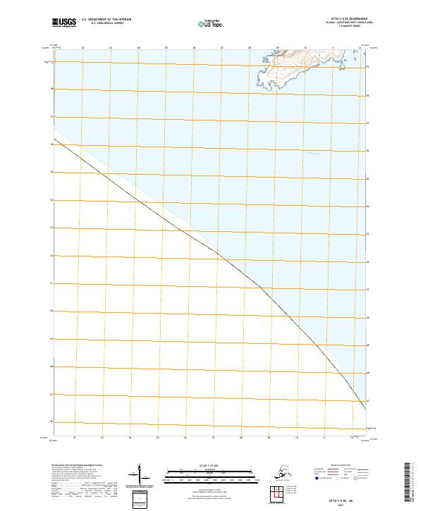
2021 · Attu C-5 SE
USGS Topo · 1:25,000
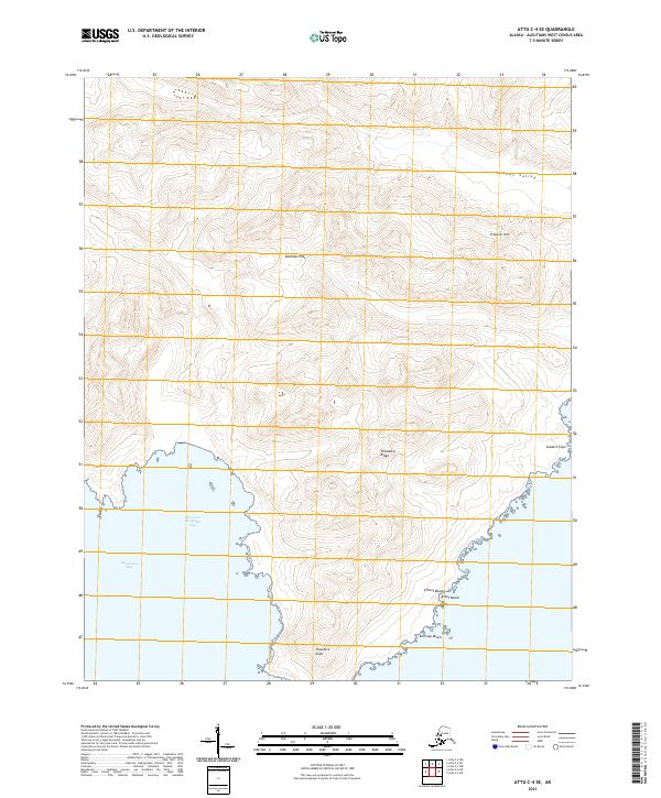
2021 · Attu C-4 SE
USGS Topo · 1:25,000
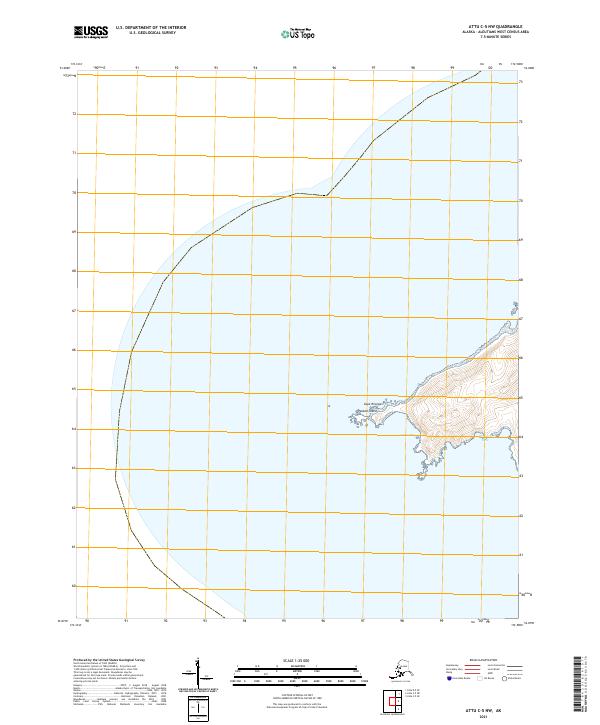
2021 · Attu C-5 NW
USGS Topo · 1:25,000
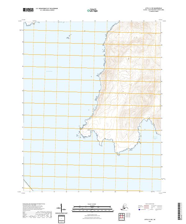
2021 · Attu C-4 SW
USGS Topo · 1:25,000
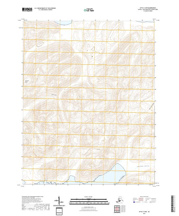
2021 · Attu C-4 NW
USGS Topo · 1:25,000
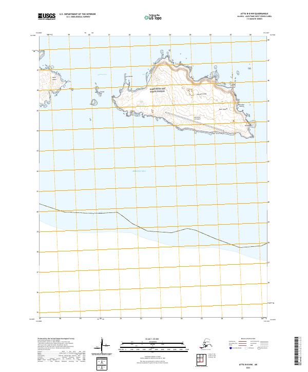
2021 · Attu B-0 NW
USGS Topo · 1:25,000
2021 · Attu D-4 SE
USGS Topo · 1:25,000
2021 · Attu C-3 OE N SW
USGS Topo · 1:25,000