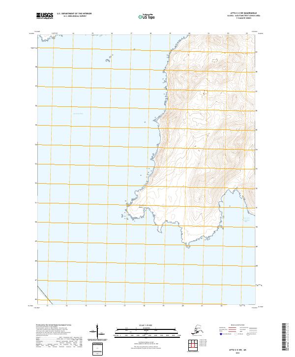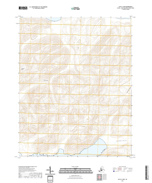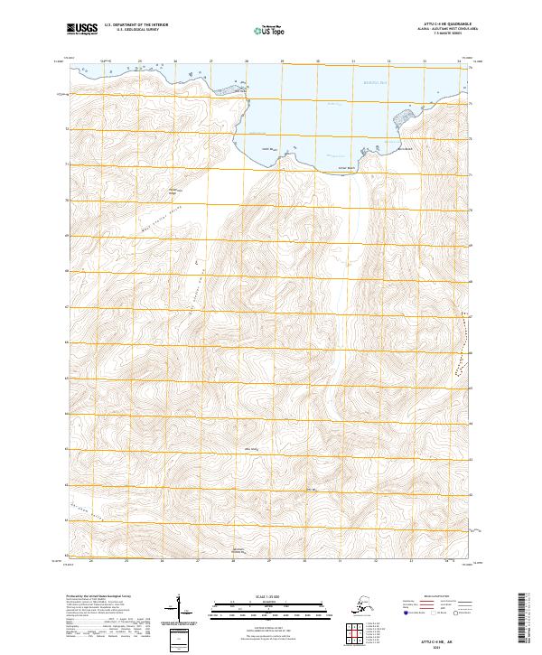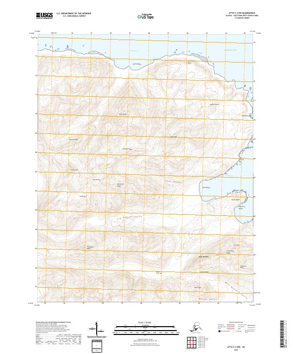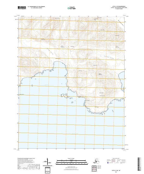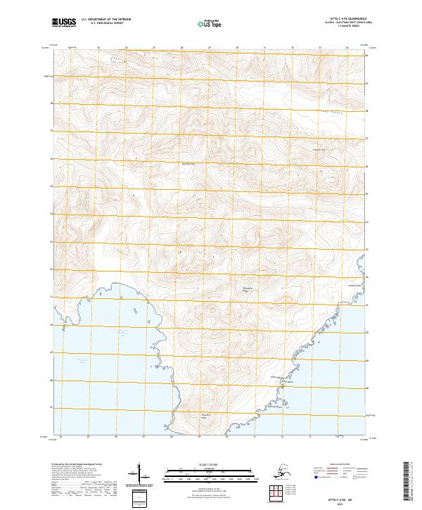
2021 Map of Attu C-4 SE
USGS Topo · Published 2021About this map
Nevidiskov Bay and its East Arm dominate the southern shoreline of this remote Aleutian landscape. The terrain is defined by dramatic coastal features like Sanders Cape and Theodore Point, which bookend a series of isolated shores including Elliott Beach and Kearney Beach. Inland, the geography rises steeply toward Franklin Hill and along the prominent Theodore Ridge. The absence of developed roads or settlements reflects the extreme isolation of this environment, where travel is dictated by natural corridors such as Kaufman Pass and the Temnac Valley. This survey captures the raw topographical character of the westernmost reaches of the Aleutians West Census Area, preserving the exact names of its points, ridges, and valleys as they were recorded in the early twenty-first century.
Find a feature on this map
15 named features on this map. Tap any name to fly to it.
Don’t see what you’re looking for? This feature index may not catch every label — zoom into the map to look around manually.
Map Details
Editions of this 2021 Attu C-4 SE Map
This is the sole edition of this map. No revisions or reprints were ever made.