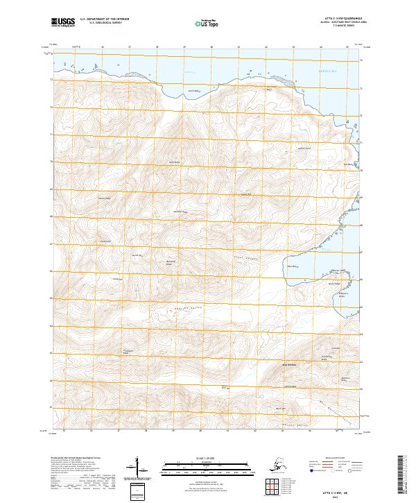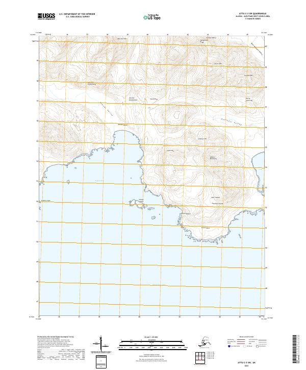
2021 Map of Attu C-3 SW
USGS Topo · Published 2021About this map
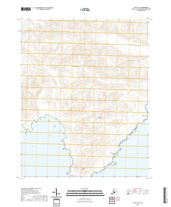
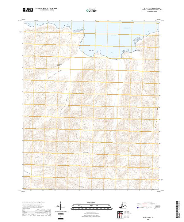
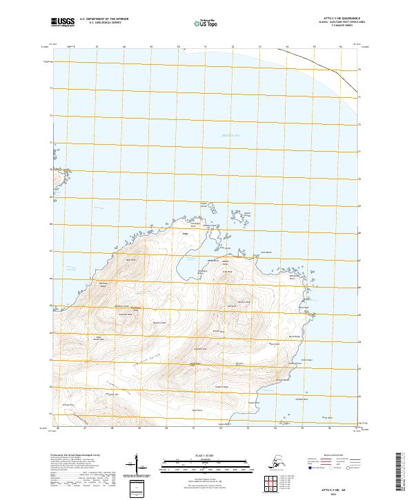
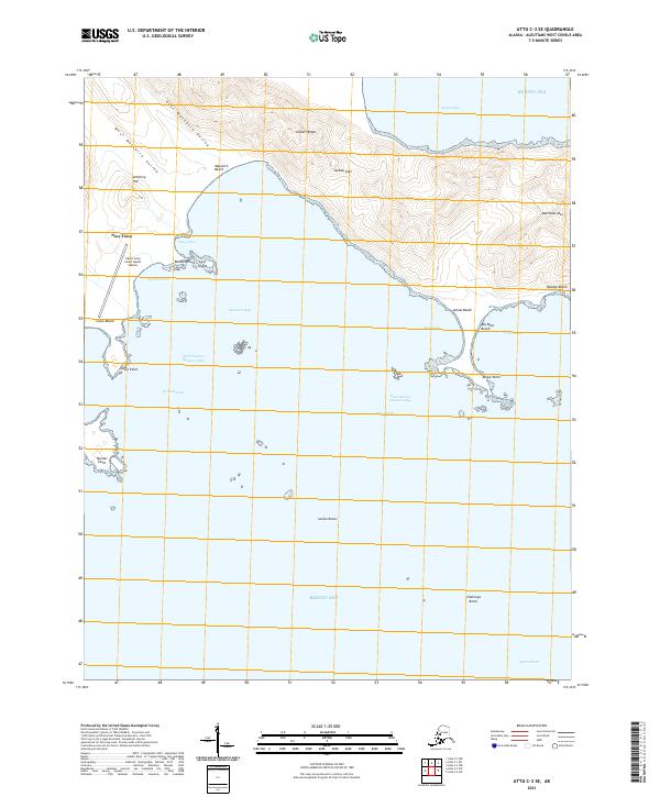
Near Islands terrain dominates this remote portion of the Aleutian Islands, where the land meets the cold waters of the Bering Sea. The landscape is defined by dramatic elevation changes, from the heights of Martinez Mtn and Devils Mtn down to the coastal lowlands of Temnac Beach. Coastal features like Temnac Bay and Casco Cove provide a look at the shoreline of Attu Island, while inland markers such as Dischler Escarpment and Henderson Ridge divide the interior valleys. The mapping of West Massacre Valley and Peaceful Valley speaks to the island's complex physical and historical geography, serving as a record of its distinctive place names. Large-scale topographic detail captures the isolated character of this environment, including small offshore features like Savage Island and prominent landforms such as Sanders Cape.
Find a feature on this map
32 named features on this map. Tap any name to fly to it.
Don’t see what you’re looking for? This feature index may not catch every label — zoom into the map to look around manually.
Map Details
Editions of this 2021 Attu C-3 SW Map
This is the sole edition of this map. No revisions or reprints were ever made.