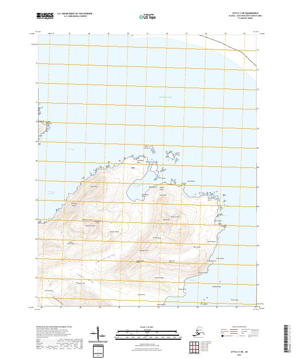
2021 Map of Attu C-3 NE
USGS Topo · Published 2021About this map
The remote settlement of Attu sits at the northern edge of this island landscape, overlooking the protected waters of Chichagof Harbor. This terrain is defined by its dramatic ridges and peaks, including Buffalo Head, West Peak, and Brewer Peak, which rise above valleys such as the Jim Fish Valley. The map details a complex coastline of bays and coves, from the broad Holtz Bay to the eastern shores of Hodikof Bay. Historically significant passes like Holtz Sarana Pass and the Japanese Gap suggest the strategic movement through the interior of the island between different coastal beachheads. Offshore, numerous hazards and landmarks are noted, including the Cooper Islands, Inner Rocks, and the Gibson Islands, illustrating the navigational challenges of the Bering Sea approaches.
Find a feature on this map
54 named features on this map. Tap any name to fly to it.
Don’t see what you’re looking for? This feature index may not catch every label — zoom into the map to look around manually.
Map Details
Editions of this 2021 Attu C-3 NE Map
This is the sole edition of this map. No revisions or reprints were ever made.
Other maps of this area

1952 · Attu
USGS Topo · 1:250,000

1953 · Attu
USGS Topo · 1:250,000
2021 · Attu C-3 OE N SW
USGS Topo · 1:25,000
2021 · Attu C-3 OE N SE
USGS Topo · 1:25,000
2021 · Attu C-2 NW
USGS Topo · 1:25,000
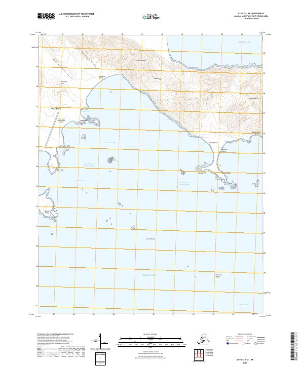
2021 · Attu C-3 SE
USGS Topo · 1:25,000
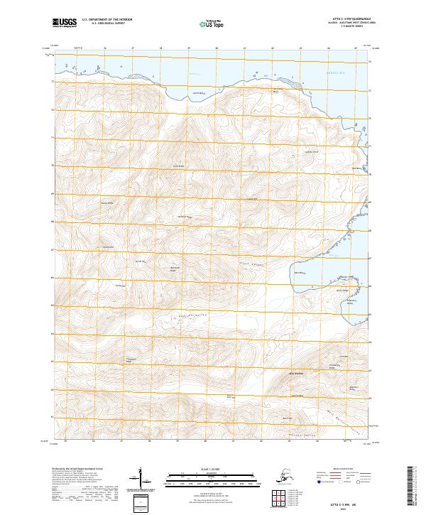
2021 · Attu C-3 NW
USGS Topo · 1:25,000
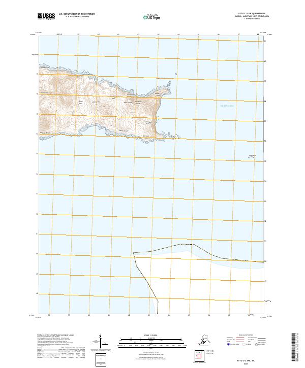
2021 · Attu C-2 SW
USGS Topo · 1:25,000
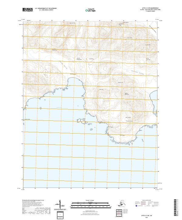
2021 · Attu C-3 SW
USGS Topo · 1:25,000