
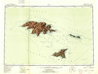
1952 Map of Attu
USGS Topo · Published 1952About this map
Attu Island and the neighboring Near Islands appear here in a compilation reflecting the strategic military importance of the Aleutian chain during and after the 1940s. The presence of Navy Town near Massacre Bay underscores the area's role as a critical North Pacific outpost. The landscape is dominated by high-relief features like Attu Mountain and the Wrangell Range, while numerous ridges including Theodore Ridge and Henderson Ridge divide the island's interior. To the east and south, the Semichi Islands and the large Agattu Island are charted with significant hydrographic detail, including Chichagof Harbor and Holtz Bay. These locations were central to the only land battle of the Pacific war fought on North American soil, though this mid-century survey focuses on the physical geography and established maritime infrastructure that remained.
Find a feature on this map
66 named features on this map. Tap any name to fly to it.
Don’t see what you’re looking for? This feature index may not catch every label — zoom into the map to look around manually.
Map Details
Editions of this 1952 Attu Map
3 editions found
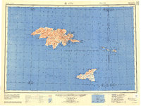
Other maps of this area

1953 · Attu
USGS Topo · 1:250,000
2021 · Attu C-5 SE
USGS Topo · 1:25,000
2021 · Attu C-4 SE
USGS Topo · 1:25,000
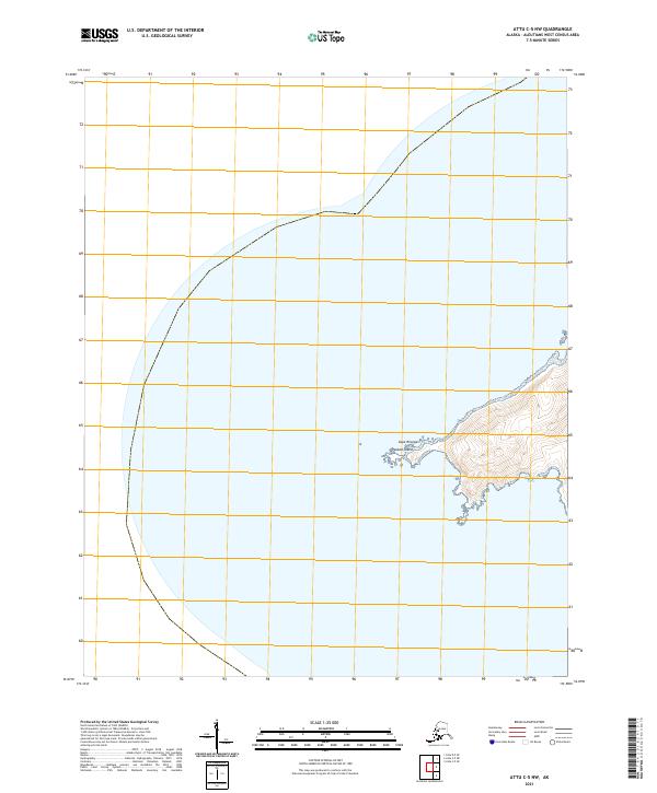
2021 · Attu C-5 NW
USGS Topo · 1:25,000
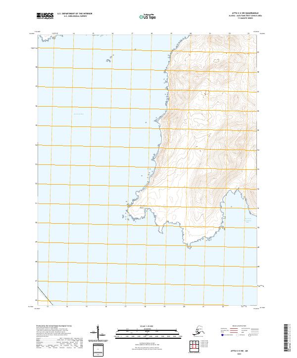
2021 · Attu C-4 SW
USGS Topo · 1:25,000
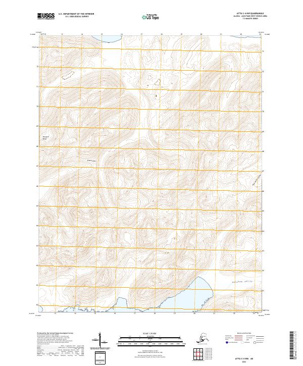
2021 · Attu C-4 NW
USGS Topo · 1:25,000
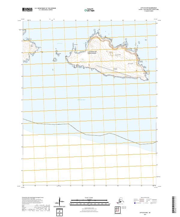
2021 · Attu B-0 NW
USGS Topo · 1:25,000
2021 · Attu D-4 SE
USGS Topo · 1:25,000
2021 · Attu C-3 OE N SW
USGS Topo · 1:25,000
2021 · Attu C-0 SW
USGS Topo · 1:25,000