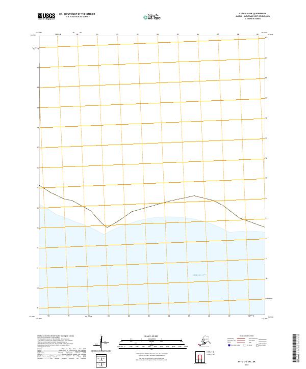
2021 Map of Attu C-0 SW
USGS Topo · Published 2021About this map
Bering Sea waters dominate the southern half of this modern topographical study of a remote section of the Aleutian Islands. Located in the westernmost reaches of Alaska, the map depicts the shoreline and nautical boundary lines within the Aleutians West Census Area. The land area is defined primarily by Public Land Survey System designations including T85s R258w and T86s R257w. This 2021 survey serves as a precise digital-age record of the coastal interface where the northern Pacific meets the Alaskan wilderness, showing the maritime extent and the specific township and range blocks that organize this unpopulated terrain.
Find a feature on this map
5 named features on this map. Tap any name to fly to it.
Don’t see what you’re looking for? This feature index may not catch every label — zoom into the map to look around manually.
Map Details
Editions of this 2021 Attu C-0 SW Map
This is the sole edition of this map. No revisions or reprints were ever made.