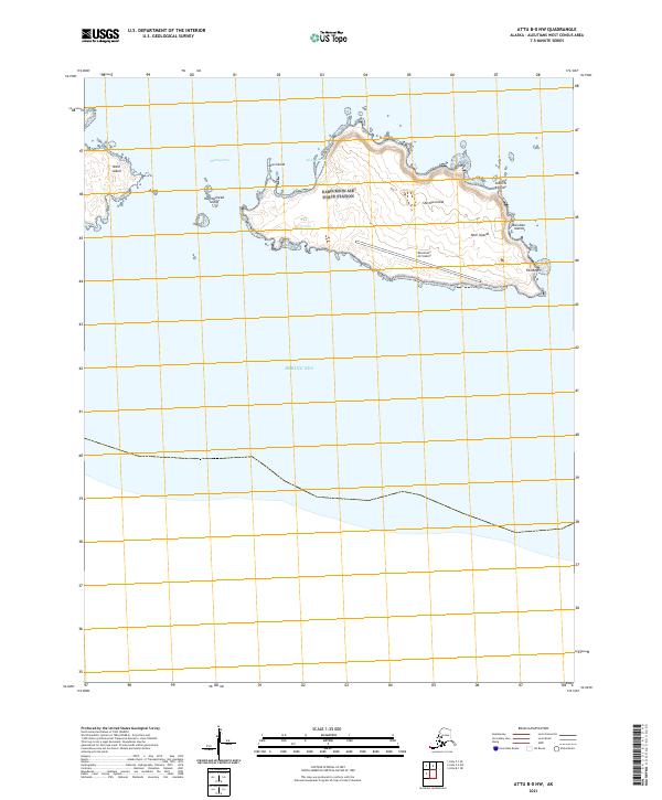
2021 Map of Attu B-0 NW
USGS Topo · Published 2021About this map
Eareckson Air Station dominates the landscape of Shemya Island, a strategic outpost at the western end of the Aleutian Islands. This 2021 survey documents the remote military infrastructure and the surrounding Semichi Islands chain within the Near Islands group. The island's perimeter is defined by features like Alcan Harbor and Skoot Cove, while the surrounding waters of the Bering Sea are punctuated by smaller landmasses including Nizki Island, Lotus Island, and Hammerhead Island. Positioned across the Shemya Pass, these islands reflect the isolated nature of the chain, where a single airfield and its associated support structures constitute the primary human footprint on this distant subarctic terrain.
Find a feature on this map
17 named features on this map. Tap any name to fly to it.
Don’t see what you’re looking for? This feature index may not catch every label — zoom into the map to look around manually.
Map Details
Editions of this 2021 Attu B-0 NW Map
This is the sole edition of this map. No revisions or reprints were ever made.