Loading...
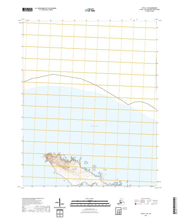
Loading map...2021 Map of Attu B-1 NE
USGS Topo · Published 2021About this map
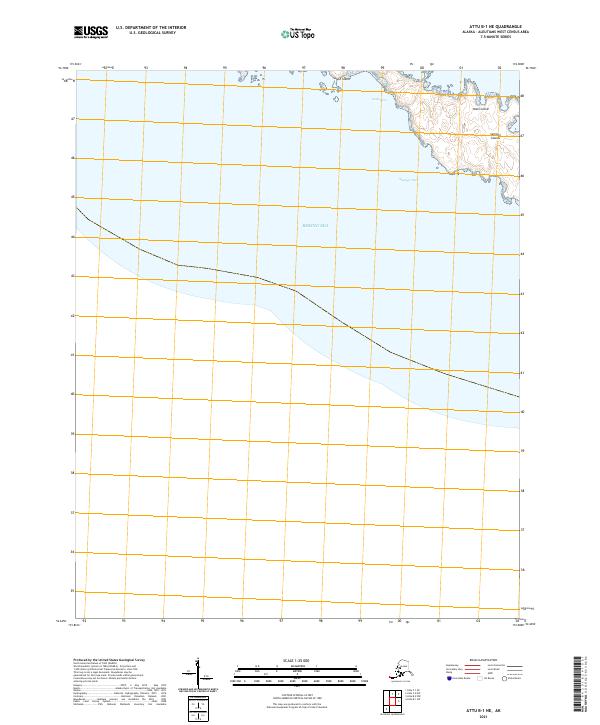
Nizki Island and Alaid Island form the focal point of this coastal survey in the western Aleutians. These islands belong to the Semichi Islands group, defined by a desolate maritime landscape where the Bering Sea meets the northern Pacific. The map documents the intricate coastline of Nizki Cove and the narrow waters of Shemya Pass, which separates these landmasses from their neighbors.
Find a feature on this map
7 named features on this map. Tap any name to fly to it.
Don’t see what you’re looking for? This feature index may not catch every label — zoom into the map to look around manually.
Map Details
Date Portrayed2021
Date Published2021
PublisherU.S. Geological Survey
Map TypeTopographic
Scale1:25,000
Physical Dimensions24 x 29 inches
Editions of this 2021 Attu B-1 NE Map
This is the sole edition of this map. No revisions or reprints were ever made.
Other maps of this area


Featured Places
Source Details
SourceU.S. Geological Survey
CopyrightPublic Domain