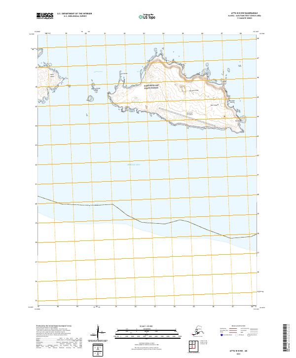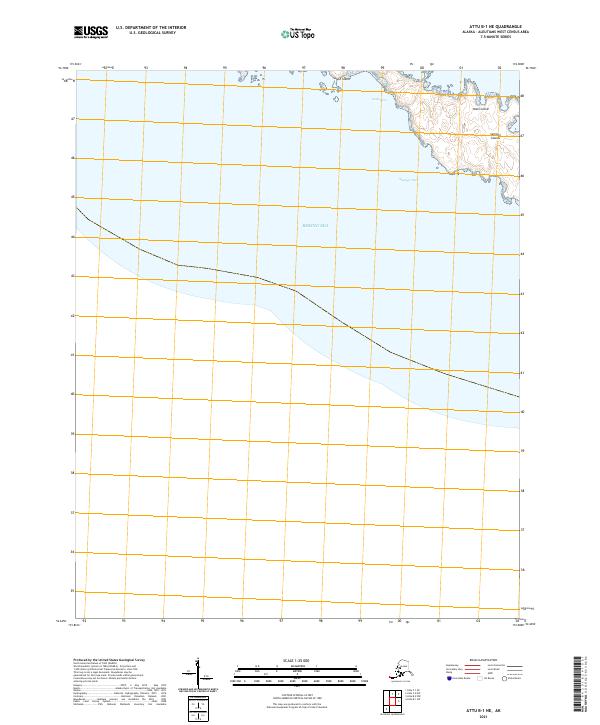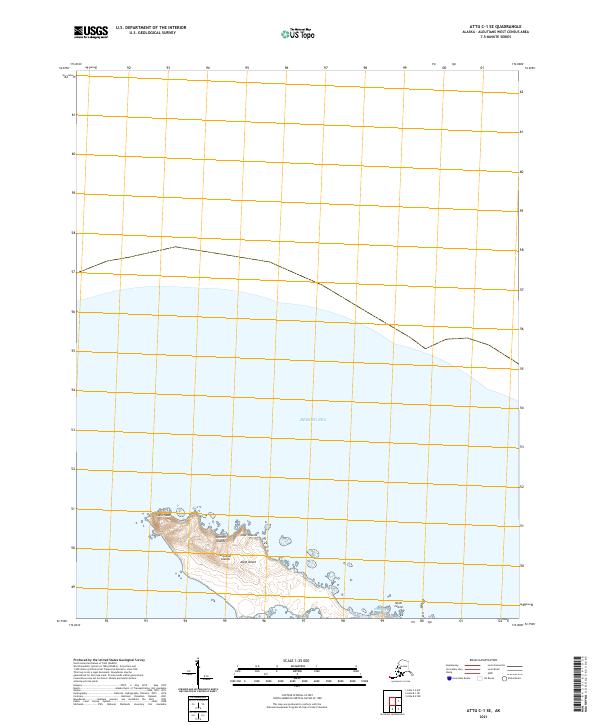
2021 Map of Attu C-1 SE
USGS Topo · Published 2021About this map
The Semichi Islands chain, part of the larger Near Islands group, dominates the southern portion of this remote Aleutian maritime survey. Most of the landmass is comprised of Alaid Island, which features the distinctive Alaid Head at its northwestern tip, and the neighboring Nizki Island to the southeast. These landforms are surrounded by the expansive waters of the Bering Sea, providing a clear look at the archipelago's isolation within the Aleutian Islands chain. The survey highlights the shoreline and coastal contours of these subarctic islands as they appeared in 2021, detailing the physical separation between the islets that define this westernmost American territory.
Find a feature on this map
10 named features on this map. Tap any name to fly to it.
Don’t see what you’re looking for? This feature index may not catch every label — zoom into the map to look around manually.
Map Details
Editions of this 2021 Attu C-1 SE Map
This is the sole edition of this map. No revisions or reprints were ever made.