2021 Map of Attu D-4 SE
USGS Topo · Published 2021About this map
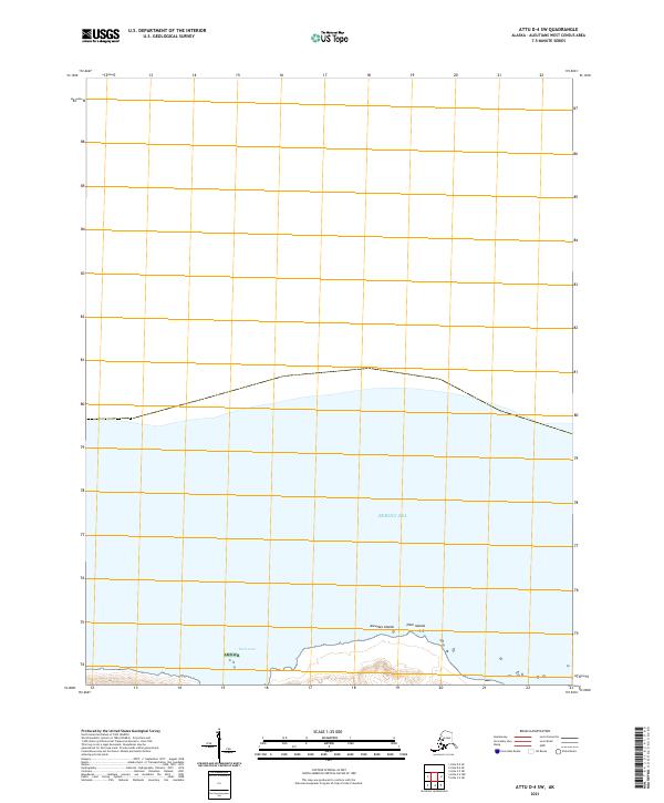
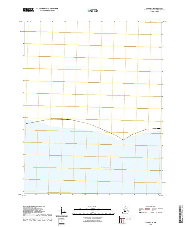
The Bering Sea dominates this coastal survey of the westernmost reaches of the Aleutian Islands. This 2021 study focuses on a largely uninhabited shoreline where maritime boundaries and Public Land Survey System designations like T83s R263w and T83s R264w provide the primary framework for navigation and land management. The absence of contour lines, noted in the margin as due to elevation data accuracy requirements, results in a stark representation of the water-to-land interface. The map documents the specific coastal configuration of the Attu D-4 SE quadrangle at the beginning of the 2020s, serving as a baseline for environmental and hydrographic researchers interested in this remote Alaskan maritime frontier.
Find a feature on this map
15 named features on this map. Tap any name to fly to it.
Don’t see what you’re looking for? This feature index may not catch every label — zoom into the map to look around manually.
Map Details
Editions of this 2021 Attu D-4 SE Map
This is the sole edition of this map. No revisions or reprints were ever made.