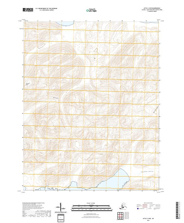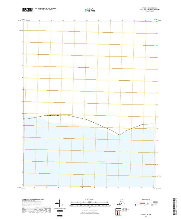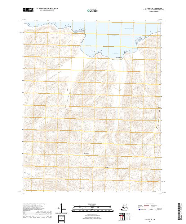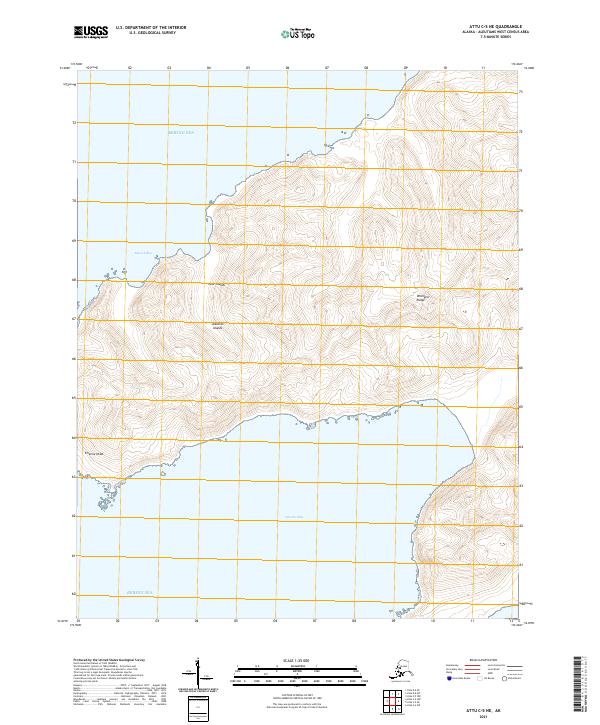
2021 Map of Attu D-4 SW
USGS Topo · Published 2021About this map
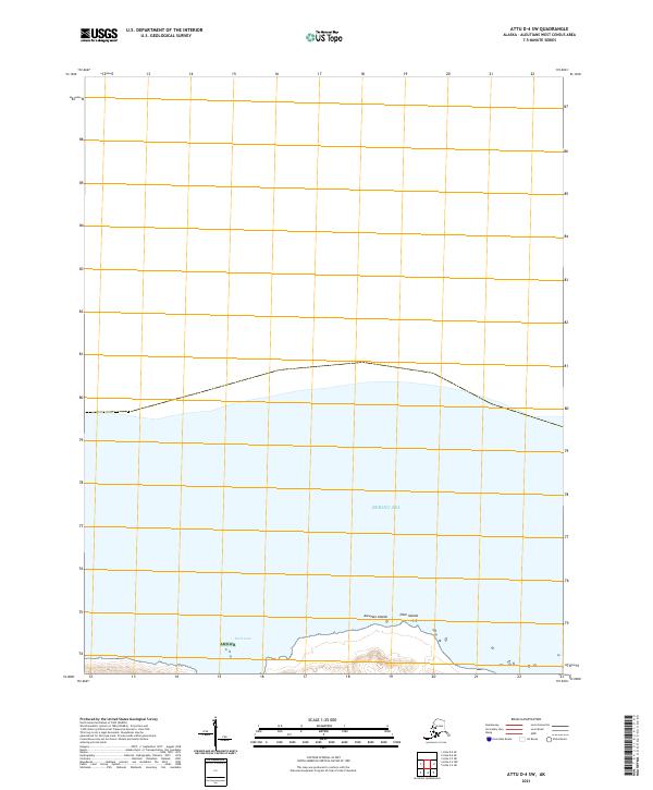
The Near Islands of the westernmost Aleutian Islands chain meet the expanse of the Bering Sea in this topographic study. Most of the southern portion of the map is defined by the protected landscape of Amnwr, indicating the area's significance as a managed wildlife refuge. The coastline is marked by the indentation of Earle Cove, providing a focused view of the intersection between the terrestrial landforms and the surrounding subarctic waters. The survey illustrates the stark isolation of these islands, with surveying lines for t83s r265w and t83s r264w framing the limited landmass against the open ocean.
Find a feature on this map
7 named features on this map. Tap any name to fly to it.
Don’t see what you’re looking for? This feature index may not catch every label — zoom into the map to look around manually.
Map Details
Editions of this 2021 Attu D-4 SW Map
This is the sole edition of this map. No revisions or reprints were ever made.