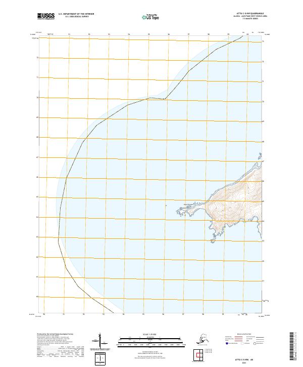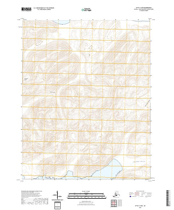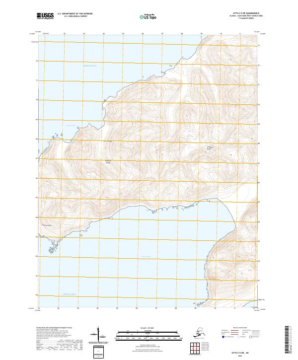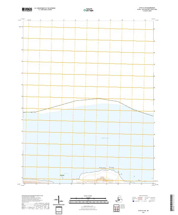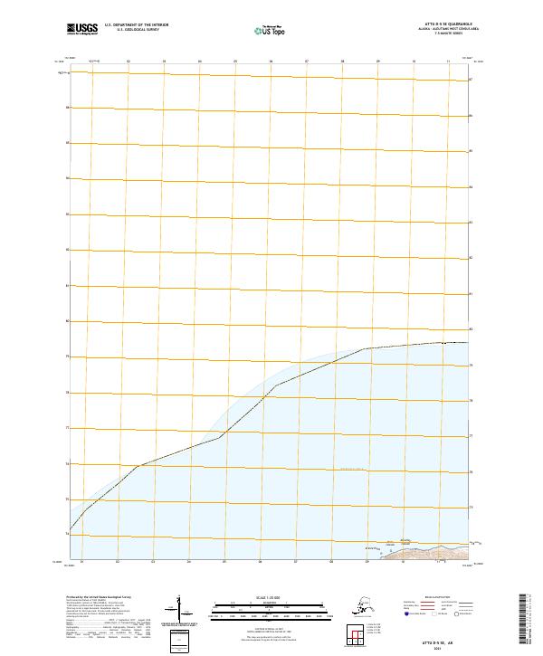
2021 Map of Attu D-5 SE
USGS Topo · Published 2021About this map
Kresta Point marks the rugged coastline where the Near Islands meet the Bering Sea in this remote stretch of the western Aleutian Islands. This 2021 survey of the Attu D-5 SE region is primarily a maritime and topographic record, illustrating the intersection of the t83s r265w and t83s r266w townships. The map documents the extreme western edge of American territory, showing the steep elevation contours and coastal features that define this uninhabited landscape. Geographers and maritime historians can trace the precise shoreline and coordinate intersections of this maritime frontier, where the land drops away into the cold northern waters.
Find a feature on this map
6 named features on this map. Tap any name to fly to it.
Don’t see what you’re looking for? This feature index may not catch every label — zoom into the map to look around manually.
Map Details
Editions of this 2021 Attu D-5 SE Map
This is the sole edition of this map. No revisions or reprints were ever made.