2021 Map of Attu C-5 NW
USGS Topo · Published 2021About this map
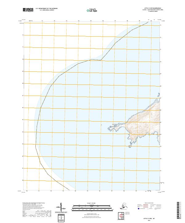
Cape Wrangell marks the extreme western reach of the Aleutian chain, defining the rugged coastal geometry where the North Pacific meets the Bering Sea. This 2021 topographic survey focuses on the maritime boundary and steep shoreline near Peaked Island, a distinct landform just off the westernmost tip of the island. The coastal indentations of Anna Bay and Wrangell Cove provide the only significant breaks in the rising terrain, which climbs quickly from the water's edge into the interior. The map illustrates the specialized surveying of the Public Land Survey System for this remote region, identifying the township and range lines for t83s r266w and t84s r266w. With no roads or structures present, the map serves as a primary record of the natural coastline and elevation contours in one of the most isolated locations in the United States.
Find a feature on this map
6 named features on this map. Tap any name to fly to it.
Don’t see what you’re looking for? This feature index may not catch every label — zoom into the map to look around manually.
Map Details
Editions of this 2021 Attu C-5 NW Map
This is the sole edition of this map. No revisions or reprints were ever made.