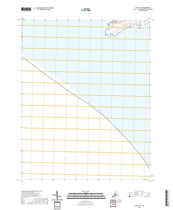
2021 Map of Attu C-5 SE
USGS Topo · Published 2021About this map
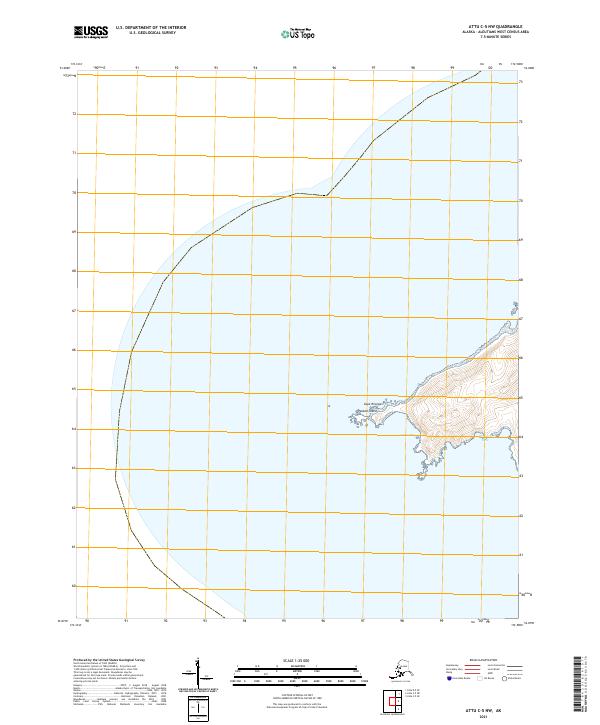
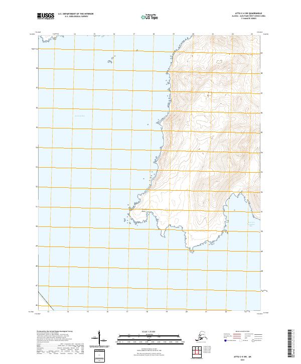
Abraham Bay dominates the coastal landscape of this remote Aleutian terrain, where the North Pacific meets the southern shoreline of Attu Island. This 2021 survey shows a nearly unpopulated maritime environment, emphasizing the natural topography of the shoreline rather than human development. The prominent landform of Mikhail Point extends into the sea, providing a key navigational reference for this desolate stretch of the Alaska coast. Mapping of these Western Aleutians reflects the modern era of satellite-derived data, where the focus remains on precise coastline definition and elevation contours for one of the most isolated locations in the United States. The absence of roads or settlements underscores the wilderness character of the region, defined primarily by its rugged coastal features and maritime boundaries.
Find a feature on this map
4 named features on this map. Tap any name to fly to it.
Don’t see what you’re looking for? This feature index may not catch every label — zoom into the map to look around manually.
Map Details
Editions of this 2021 Attu C-5 SE Map
This is the sole edition of this map. No revisions or reprints were ever made.