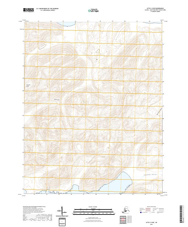
2021 Map of Attu C-4 NW
USGS Topo · Published 2021About this map
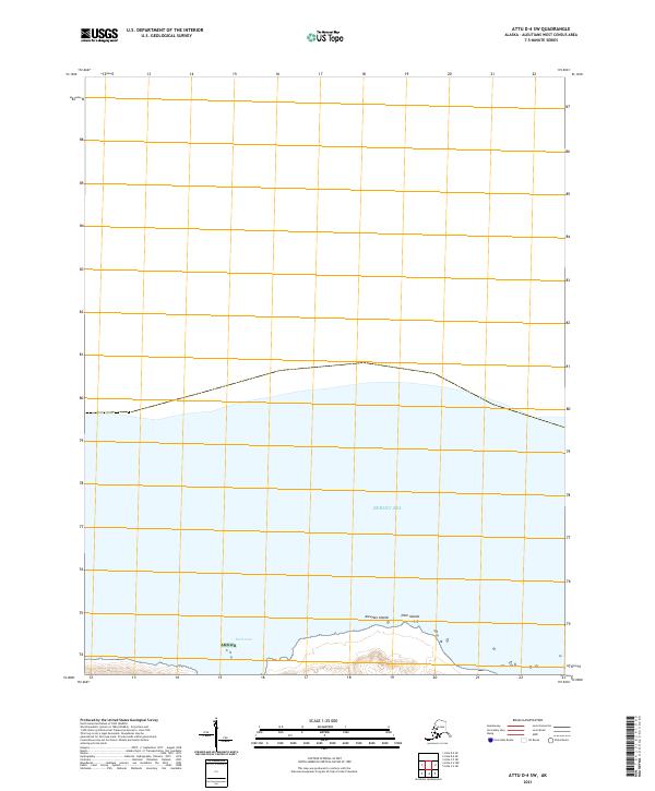
Earle Cove marks the northern edge of this remote Aleutian landscape, where the island's steep, glaciated terrain meets the Bering Sea. The interior is defined by high ridges and mountain passes, most notably the Etienne Pass and the western reaches of the Wrangell Range. This 2021 survey illustrates a land strictly shaped by geology, showing the deep glacial carving of the Abraham Valley and West Steller Valley. These valleys serve as natural corridors between the peaks, and their drainage patterns offer a detailed look at the island's hydrologic structure. While devoid of modern settlements, the map provides an exacting record of the geographic landmarks used for navigation and research in the far reaches of the Aleutians West Census Area.
Find a feature on this map
9 named features on this map. Tap any name to fly to it.
Don’t see what you’re looking for? This feature index may not catch every label — zoom into the map to look around manually.
Map Details
Editions of this 2021 Attu C-4 NW Map
This is the sole edition of this map. No revisions or reprints were ever made.
Other maps of this area

1952 · Attu
USGS Topo · 1:250,000

1953 · Attu
USGS Topo · 1:250,000
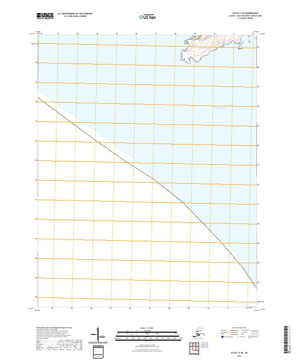
2021 · Attu C-5 SE
USGS Topo · 1:25,000
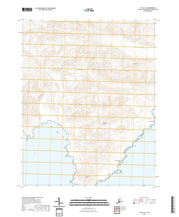
2021 · Attu C-4 SE
USGS Topo · 1:25,000
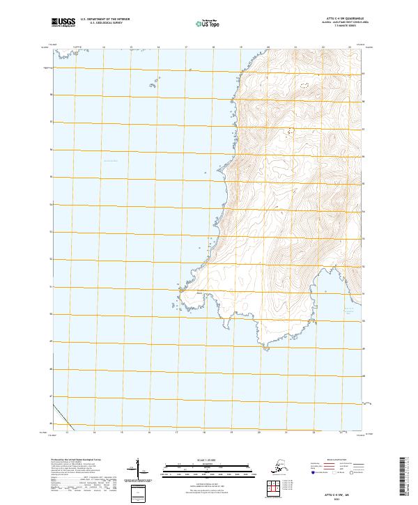
2021 · Attu C-4 SW
USGS Topo · 1:25,000
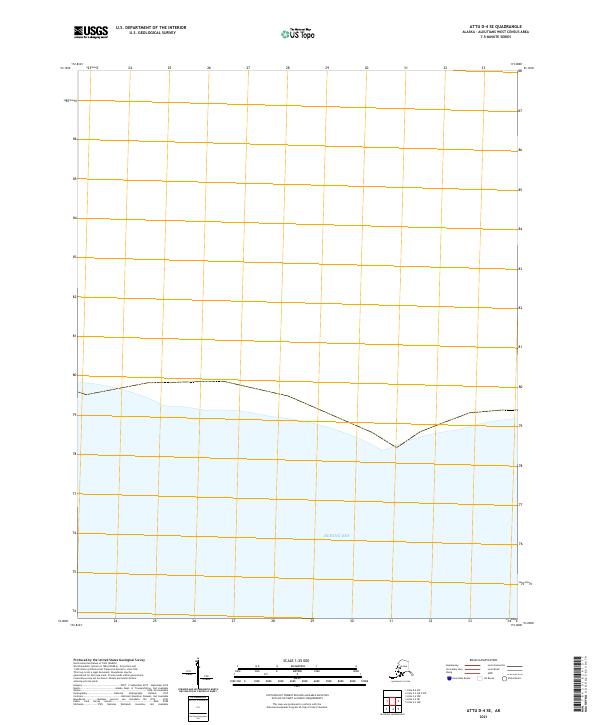
2021 · Attu D-4 SE
USGS Topo · 1:25,000
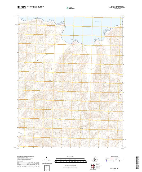
2021 · Attu C-4 NE
USGS Topo · 1:25,000
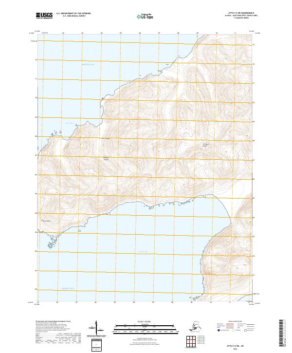
2021 · Attu C-5 NE
USGS Topo · 1:25,000
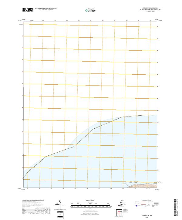
2021 · Attu D-5 SE
USGS Topo · 1:25,000
2021 · Attu D-4 SW
USGS Topo · 1:25,000