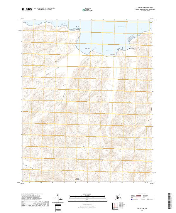
2021 Map of Attu C-4 NE
USGS Topo · Published 2021About this map
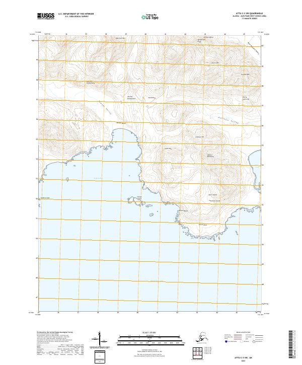
Attu Island’s northern coast meets the Bering Sea along a series of distinct bays and beaches, including Steller Cove and Auburn Cove. The landscape is dominated by high ridges and glacial drainage patterns, where the West Steller Valley and East Steller Valley converge toward the coastline. Landforms such as Red Head and Henderson Ridge provide clear topographic markers in this subarctic environment. To the south, the terrain rises toward Attu Mtn, creating a steep interior. This survey documents the island's natural corridors, specifically the Abraham-Temnac Pass and Abraham Valley, which represent the primary passages through the interior elevations. The map reveals a wild, unpopulated coast defined by isolated stretches like Smith Beach, Center Beach, and Birch Beach.
Find a feature on this map
20 named features on this map. Tap any name to fly to it.
Don’t see what you’re looking for? This feature index may not catch every label — zoom into the map to look around manually.
Map Details
Editions of this 2021 Attu C-4 NE Map
This is the sole edition of this map. No revisions or reprints were ever made.
Other maps of this area

1952 · Attu
USGS Topo · 1:250,000

1953 · Attu
USGS Topo · 1:250,000
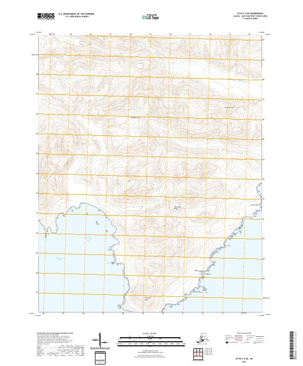
2021 · Attu C-4 SE
USGS Topo · 1:25,000
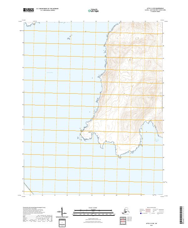
2021 · Attu C-4 SW
USGS Topo · 1:25,000
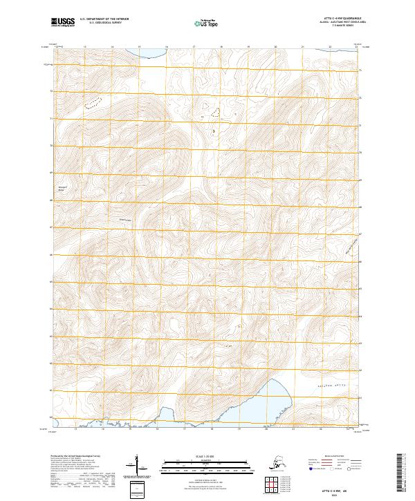
2021 · Attu C-4 NW
USGS Topo · 1:25,000
2021 · Attu D-4 SE
USGS Topo · 1:25,000
2021 · Attu C-3 OE N SW
USGS Topo · 1:25,000
2021 · Attu D-4 SW
USGS Topo · 1:25,000
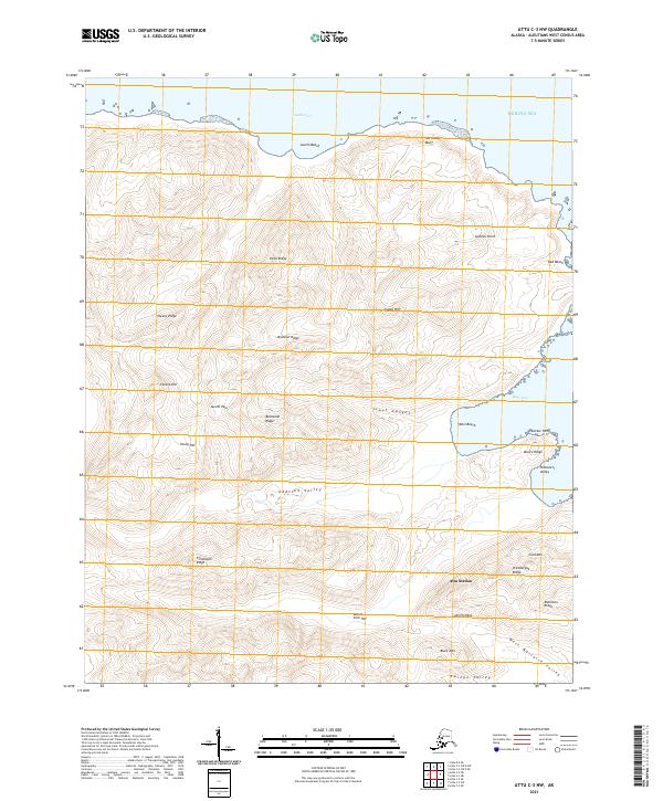
2021 · Attu C-3 NW
USGS Topo · 1:25,000
2021 · Attu C-3 SW
USGS Topo · 1:25,000